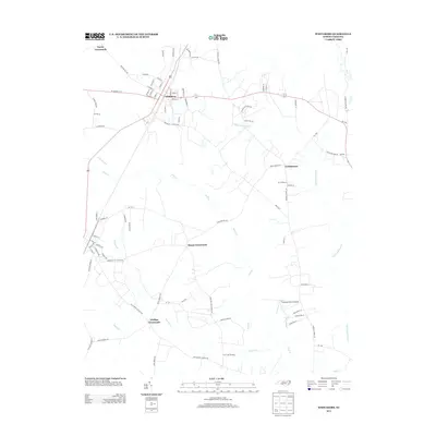
2013 Map of Whitakers
USGS Topo · Published 2013About this map
Whitakers serves as a central junction where the Csx railroad cuts through the landscape, anchoring a network of agricultural roads and rural settlements. This 2013 survey reveals a pattern of dispersed communities such as Cherry Crossroads, Phillips Crossroads, and Taylor Crossroads, reflecting the enduring rural character of this region. The terrain is defined by low-lying wetlands and drainage systems, including the expansive White Oak Swamp and the meandering Swift Cr, which are characteristic of the coastal plain.
Find a feature on this map
75 named features on this map. Tap any name to fly to it.
Don’t see what you’re looking for? This feature index may not catch every label — zoom into the map to look around manually.
Map Details
Editions of this 2013 Whitakers Map
This is the sole edition of this map. No revisions or reprints were ever made.
Other maps of this area

1902 · Rocky Mount
USGS Topo · 1:62,500

1902 · Tarboro
USGS Topo · 1:62,500

1903 · Tarboro
USGS Topo · 1:62,500

1904 · Rocky Mount
USGS Topo · 1:62,500

1953 · Norfolk
USGS Topo · 1:250,000

1953 · Rocky Mount
USGS Topo · 1:250,000

1954 · Rocky Mount
USGS Topo · 1:250,000

1960 · Dawson Crossroads
USGS Topo · 1:24,000

1960 · Draughn
USGS Topo · 1:24,000

1961 · Whitakers
USGS Topo · 1:24,000