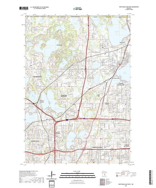
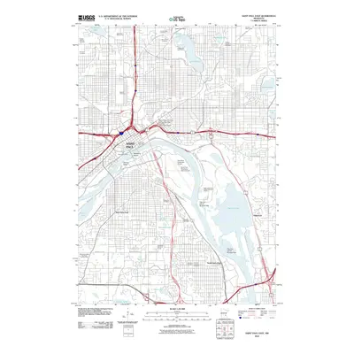
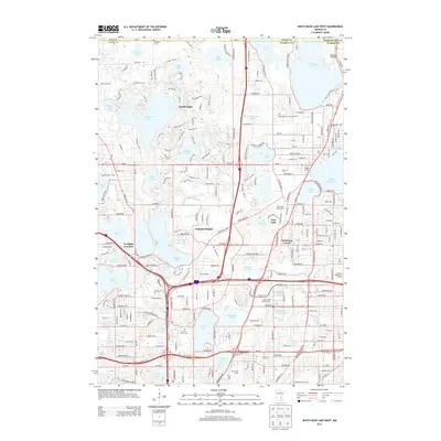
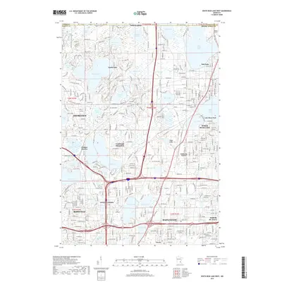
2022 Map of White Bear Lake West
USGS Topo · Published 2022About this map
Vadnais Lake and the surrounding chain of water bodies anchor this northern suburban Twin Cities landscape, where established residential communities meet significant wetland preserves. The map illustrates a dense network of suburban development across Shoreview, Vadnais Heights, and Maplewood, yet it retains traces of earlier transit and communal hubs like Cardigan Junction and Hoffmans Corner. For local historians and genealogists, the survey identifies several significant burial grounds including Saint Mary of the Lake Cem and Saint Johns Cem. The region's transport evolution is evident in the path of the BNSF Railway and the Gateway State Trl, which follow corridors that once linked these lakeside settlements to the metropolitan core. To the north, the planned community of North Oaks and the waters of Pleasant Lake maintain a distinct woodland character amidst the expanding grid.
Find a feature on this map
66 named features on this map. Tap any name to fly to it.
Don’t see what you’re looking for? This feature index may not catch every label — zoom into the map to look around manually.
Map Details
Editions of this 2022 White Bear Lake West Map
This is the sole edition of this map. No revisions or reprints were ever made.
Historical Maps of Maplewood Through Time
23 maps found
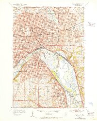
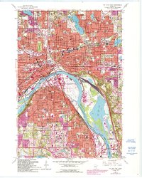
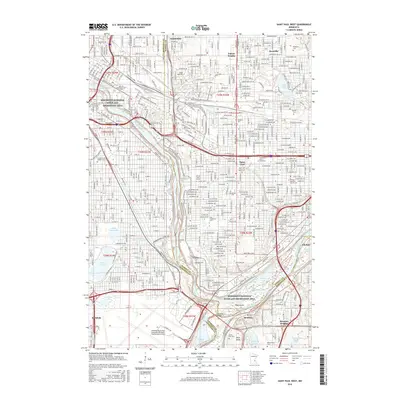
1951 St. Paul East
Ramsey County, MN

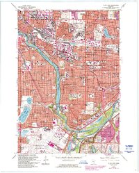
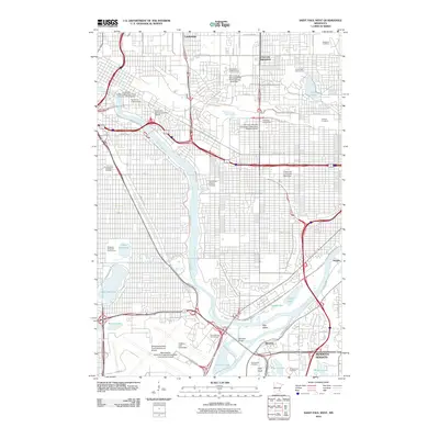
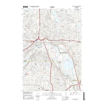
1951 St. Paul West
Ramsey County, MN
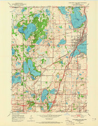
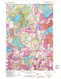
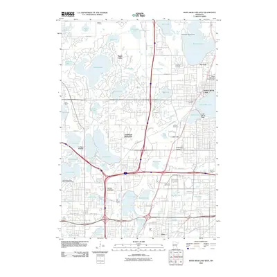
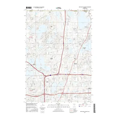
1952 White Bear Lake West
Ramsey County, MN
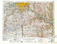
1953 Saint Paul
Ramsey County, MN

1959 Saint Paul
Ramsey County, MN
1967 St Paul East
Ramsey County, MN
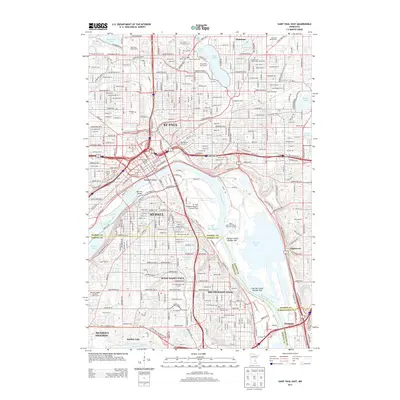
1967 St. Paul West
Ramsey County, MN
1967 White Bear Lake West
Ramsey County, MN
2010 Saint Paul East
Ramsey County, MN
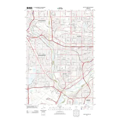
2010 Saint Paul West
Ramsey County, MN
2010 White Bear Lake West
Ramsey County, MN
2013 Saint Paul East
Ramsey County, MN
2013 Saint Paul West
Ramsey County, MN
2013 White Bear Lake West
Ramsey County, MN
2016 Saint Paul East
Ramsey County, MN
2016 Saint Paul West
Ramsey County, MN
2016 White Bear Lake West
Ramsey County, MN
2019 Saint Paul East
Ramsey County, MN
2019 Saint Paul West
Ramsey County, MN
2019 White Bear Lake West
Ramsey County, MN
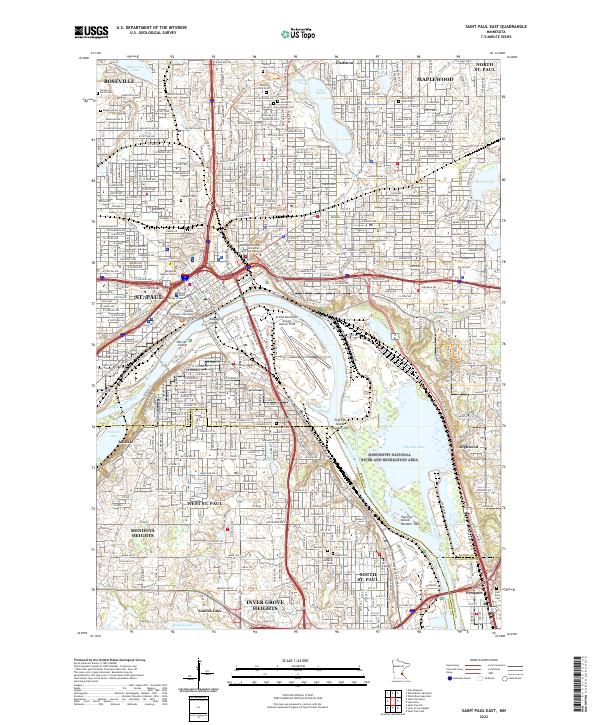
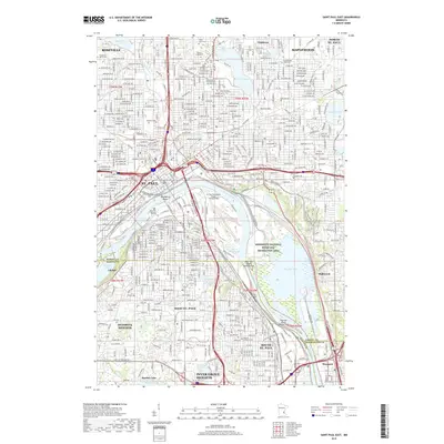
2022 Saint Paul East
Ramsey County, MN
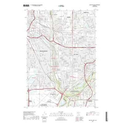
2022 Saint Paul West
Ramsey County, MN
2022 White Bear Lake West
Ramsey County, MN