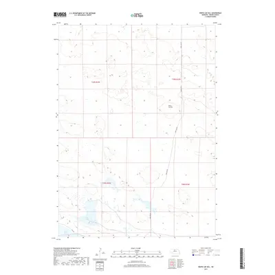
2017 Map of White Cap Hill
USGS Topo · Published 2017About this map
White Cap Hill stands as a prominent landmark in this segment of the Sandhills region, where the terrain is defined by a dense network of depressions and isolated water bodies. This 2017 survey by the U.S. Geological Survey documents a largely unpopulated landscape characterized by intermittent and perennial basins such as Alkali Lake and Moon Lake. The infrastructure is sparse, consisting primarily of unpaved tracks and local connectors like Moon Lake Rd and Hill Rd, which provide access to these remote ranching or conservation areas. The map details the Public Land Survey System grid across four townships, including t29n r24w and t28n r23w, reflecting the enduring section-line organization of the Nebraska plains.
Find a feature on this map
9 named features on this map. Tap any name to fly to it.
Don’t see what you’re looking for? This feature index may not catch every label — zoom into the map to look around manually.
Map Details
Editions of this 2017 White Cap Hill Map
This is the sole edition of this map. No revisions or reprints were ever made.
Other maps of this area

1950 · Wood Lake
USGS Topo · 1:62,500

1951 · Moon Lake
USGS Topo · 1:62,500

1954 · Ainsworth SW
USGS Topo · 1:24,000

1955 · O'Neill
USGS Topo · 1:250,000

1957 · Valentine
USGS Topo · 1:250,000

1959 · Valentine
USGS Topo · 1:250,000

1959 · O'Neill
USGS Topo · 1:250,000

1969 · O'Neill
USGS Topo · 1:250,000

1982 · Lost Lake Ranch
USGS Topo · 1:24,000
1982 · Raven SW
USGS Topo · 1:24,000