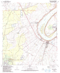
1936 Map of White Castle
USGS Topo · Published 1954About this map
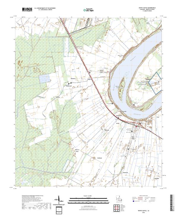
The Mississippi River defines the landscape of this riverfront corridor during the mid-1930s, winding past a dense concentration of historic river estates and agrarian settlements. The town of White Castle and nearby Bayou Goula serve as primary hubs, connected to the broader region by the Texas and Pacific railroad line. This era captures the transition of the local economy, where traditional sugar estates like the Belle Grove Plantation, Eureka Plantation, and Tally-Ho Plantation dominate the riverbanks while new industrial footprints emerge at the Wilbert Oil Field Shell Petroleum Corp. Social life is anchored by several rural institutions, including the St Marys Ch & Cem and the Augusta Sch. Inland, the terrain shifts toward the swampy reaches of Lake Natchez and Grand Bayou, illustrating the distinct boundary between the cultivated riverfront and the low-lying wetlands.
Find a feature on this map
93 named features on this map. Tap any name to fly to it.
Don’t see what you’re looking for? This feature index may not catch every label — zoom into the map to look around manually.
Map Details
Editions of this 1936 White Castle Map
2 editions found

Historical Maps of Donaldsonville Through Time
10 maps found
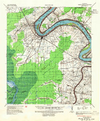
1936 White Castle
Iberville Parish, LA
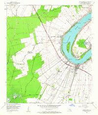
1953 White Castle
Iberville Parish, LA
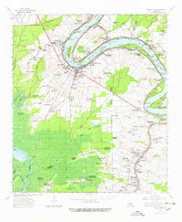
1963 White Castle
Iberville Parish, LA
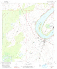
1974 White Castle
Iberville Parish, LA
1992 White Castle
Iberville Parish, LA
2012 White Castle
Iberville Parish, LA
2015 White Castle
Iberville Parish, LA
2018 White Castle
Iberville Parish, LA

2020 White Castle
Iberville Parish, LA
2024 White Castle
Iberville Parish, LA