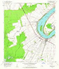
1953 Map of White Castle
USGS Topo · Published 1964About this map
The Mississippi River defines the geography of Iberville Parish in the early 1950s, its winding course marked by numerous landings such as Dunboine Landing and Elenora Landing. A high density of settlements like Dorcyville, Soniat, and White Castle cling to the river's western levee, supported by the Texas and Pacific railroad and a network of bayous including Bayou Goula and Bayou Tigre. This map records a landscape of intensive plantation-style agriculture and emerging industry, evidenced by the White Castle Oil Field to the southwest and numerous named plantations like Glenmore, Tally Ho, and Augusta. A distinctive institutional landmark, the National Leprosarium, occupies the eastern bank at Point Clair, while the interior is crisscrossed with spoil banks and drainage canals essential for managing the low-lying terrain near Bruly La Croix and Samstown.
Find a feature on this map
40 named features on this map. Tap any name to fly to it.
Don’t see what you’re looking for? This feature index may not catch every label — zoom into the map to look around manually.
Map Details
Editions of this 1953 White Castle Map
2 editions found
Other maps of this area

1908 · Baton Rouge
USGS Topo · 1:62,500

1935 · Chicot Lake
USGS Topo · 1:62,500

1936 · White Castle
USGS Topo · 1:62,500

1939 · Baton Rouge
USGS Topo · 1:62,500

1940 · Grosse Tete
USGS Topo · 1:62,500

1953 · Crescent
USGS Topo · 1:24,000

1953 · Plaquemine
USGS Topo · 1:24,000

1953 · Addis
USGS Topo · 1:24,000

1953 · St. Gabriel
USGS Topo · 1:24,000
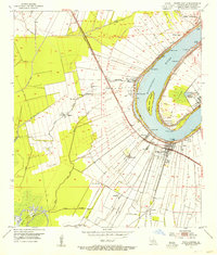
1953 · White Castle
USGS Topo · 1:24,000