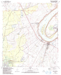
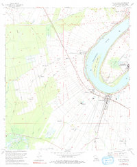
1992 Map of White Castle
USGS Topo · Published 1992About this map
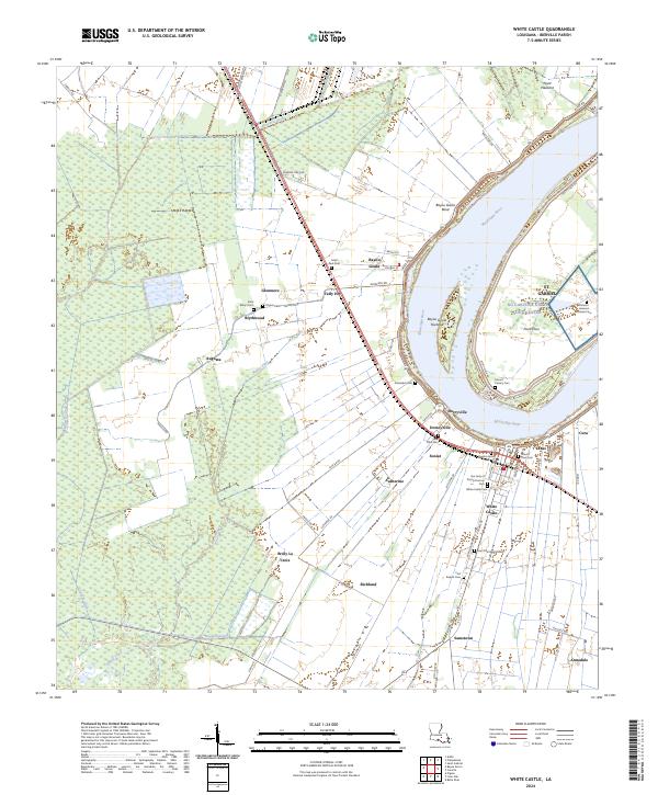
Nottoway Plantation stands prominently along the west bank of the Mississippi River, anchoring a landscape defined by the intricate relationship between alluvial geography and industrial development. This riverfront corridor is densely populated with historical settlements like Bayou Goula, Dorcyville, and White Castle, where the Texas & Pacific RR parallels the levee. The map reveals the deep-rooted cultural fabric of Iberville Parish through numerous small parishes and burial grounds, including the Madonna Chappel at Point Pleasant and the St Marys Cem & Ch near Blythwood.
Find a feature on this map
49 named features on this map. Tap any name to fly to it.
Don’t see what you’re looking for? This feature index may not catch every label — zoom into the map to look around manually.
Map Details
Editions of this 1992 White Castle Map
This is the sole edition of this map. No revisions or reprints were ever made.
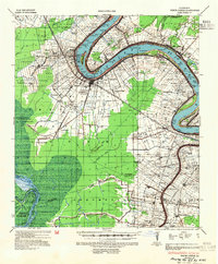
Historical Maps of White Castle Through Time
10 maps found
1936 White Castle
Iberville Parish, LA
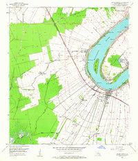
1953 White Castle
Iberville Parish, LA
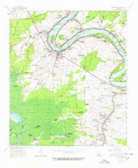
1963 White Castle
Iberville Parish, LA
1974 White Castle
Iberville Parish, LA
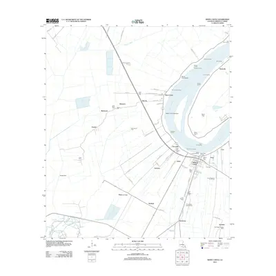
1992 White Castle
Iberville Parish, LA
2012 White Castle
Iberville Parish, LA
2015 White Castle
Iberville Parish, LA
2018 White Castle
Iberville Parish, LA

2020 White Castle
Iberville Parish, LA
2024 White Castle
Iberville Parish, LA