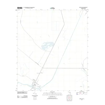
2012 Map of White City
USGS Topo · Published 2012About this map
White City serves as the focal point of this Gulf County coastal region, situated where the Intracoastal Waterway meets a network of local thoroughfares. The landscape is defined by its water systems, including the winding course of Cypress Cr and the remote Luke Ford Cr. Industrial and forestry history is evident through the alignment of the St Joe Paper Company Rd and the presence of the Saint Joe Fire Tower alongside the White City Fire Tower. The settlement layout includes a distinct grid of streets like W Beatty Ave and Charles Ave, which lead toward the Bayless Bridge. Farther east, the place name Gaskin Still suggests the area's historical ties to the naval stores or turpentine industry, while naming conventions on rural routes like Mace Martin Rd and Lena's Ln offer specific points of interest for local genealogists.
Find a feature on this map
22 named features on this map. Tap any name to fly to it.
Don’t see what you’re looking for? This feature index may not catch every label — zoom into the map to look around manually.
Map Details
Editions of this 2012 White City Map
This is the sole edition of this map. No revisions or reprints were ever made.
Other maps of this area

1943 · Port St. Joe
USGS Topo · 1:31,680

1943 · Overstreet
USGS Topo · 1:31,680

1943 · Jackson River
USGS Topo · 1:24,000

1944 · White City
USGS Topo · 1:24,000

1944 · Forbes Island
USGS Topo · 1:24,000

1945 · Forbes Island
USGS Topo · 1:31,680

1945 · Lake Wimico
USGS Topo · 1:31,680

1945 · Kennedy Creek
USGS Topo · 1:31,680

1945 · White City
USGS Topo · 1:31,680

1945 · Wewahitchka
USGS Topo · 1:31,680