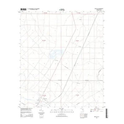
2015 Map of White City
USGS Topo · Published 2015About this map
White City sits at the junction of the Intracoastal Waterway and the northern reach of the St. Joseph Bay watershed, marking a landscape defined by timber tracts and waterway management in the early twenty-first century. The settlement's street grid, including Charles Ave and Stebel Dr, clusters near the Bayless Bridge, where the waterway bisects the Florida panhandle lowlands. The surrounding terrain is heavily intersected by a network of drainage and transport routes, such as the Freshwater Canal Rd and named tracks like Old Millville Rd. Local history is reflected in several functional roads through the swampy flats, including Doc Whitfield Rd and the evocatively named Old Dynamite Dock Rd. Most of the quadrangle is occupied by the winding path of Cypress Creek and the long, straight corridors of the Camp Nelly Grade Rd, illustrating the intersection of natural hydrology and industrial land division.
Find a feature on this map
31 named features on this map. Tap any name to fly to it.
Don’t see what you’re looking for? This feature index may not catch every label — zoom into the map to look around manually.
Map Details
Editions of this 2015 White City Map
This is the sole edition of this map. No revisions or reprints were ever made.
Other maps of this area

1943 · Port St. Joe
USGS Topo · 1:31,680

1943 · Overstreet
USGS Topo · 1:31,680

1943 · Jackson River
USGS Topo · 1:24,000

1944 · White City
USGS Topo · 1:24,000

1944 · Forbes Island
USGS Topo · 1:24,000

1945 · Forbes Island
USGS Topo · 1:31,680

1945 · Lake Wimico
USGS Topo · 1:31,680

1945 · Kennedy Creek
USGS Topo · 1:31,680

1945 · White City
USGS Topo · 1:31,680

1945 · Wewahitchka
USGS Topo · 1:31,680