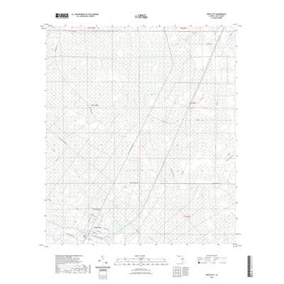
2021 Map of White City
USGS Topo · Published 2021About this map
White City sits at the southern edge of this Florida landscape, defined by its intersection with the vital Intracoastal Waterway. The settlement's street grid, featuring W Beatty Ave and Gardenia St, connects to the crossing at Bayless Bridge. This infrastructure supports a coastal economy long shaped by the timber and paper industries, as evidenced by the reach of St Joe Paper Company Rd through the interior.
Find a feature on this map
42 named features on this map. Tap any name to fly to it.
Don’t see what you’re looking for? This feature index may not catch every label — zoom into the map to look around manually.
Map Details
Editions of this 2021 White City Map
This is the sole edition of this map. No revisions or reprints were ever made.
Other maps of this area

1943 · Port St. Joe
USGS Topo · 1:31,680

1943 · Overstreet
USGS Topo · 1:31,680

1943 · Jackson River
USGS Topo · 1:24,000

1944 · White City
USGS Topo · 1:24,000

1944 · Forbes Island
USGS Topo · 1:24,000

1945 · Forbes Island
USGS Topo · 1:31,680

1945 · Lake Wimico
USGS Topo · 1:31,680

1945 · Kennedy Creek
USGS Topo · 1:31,680

1945 · White City
USGS Topo · 1:31,680

1945 · Wewahitchka
USGS Topo · 1:31,680