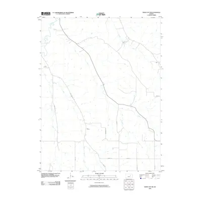
2009 Map of White City NW
USGS Topo · Published 2009About this map
Clarks Creek and Humboldt Creek dominate this rural landscape in Geary County, where a network of tributary streams defines the local geography. The area is characterized by its agricultural roots and long-standing family-named roads, such as Zumbrunn Rd and Derendinger Rd, which follow the contours of the land. For those researching local genealogy, the presence of Rosey Cemetery in the northwest and Olson Cemetery further south provides concrete points of reference for the families who settled this portion of the Kansas prairie.
Find a feature on this map
18 named features on this map. Tap any name to fly to it.
Don’t see what you’re looking for? This feature index may not catch every label — zoom into the map to look around manually.
Map Details
Editions of this 2009 White City NW Map
This is the sole edition of this map. No revisions or reprints were ever made.
Other maps of this area

1886 · Junction City
USGS Topo · 1:125,000

1889 · Junction City
USGS Topo · 1:125,000

1889 · Parkerville
USGS Topo · 1:125,000

1894 · Junction City
USGS Topo · 1:125,000

1894 · Parkerville
USGS Topo · 1:125,000

1947 · Manhattan
USGS Topo · 1:62,500

1947 · Fort Riley
USGS Topo · 1:62,500

1950 · Junction City
USGS Topo · 1:24,000

1951 · Swede Creek
USGS Topo · 1:24,000

1951 · Ogden
USGS Topo · 1:24,000