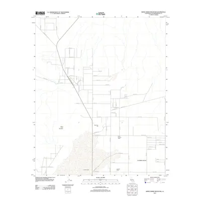
2012 Map of White Horse Mountain
USGS Topo · Published 2012About this map
Lucerne Lake dominates the southern portion of this high desert landscape, appearing as a sprawling dry lake bed at the base of the surrounding terrain. To the west, White Horse Mountain rises prominently, while Peterman Hill stands centrally near the intersection of several desert thoroughfares. The map details the transition from open desert into the structured settlement of Lucerne Valley, where a grid of residential and agricultural roads begins to form.
Find a feature on this map
61 named features on this map. Tap any name to fly to it.
Don’t see what you’re looking for? This feature index may not catch every label — zoom into the map to look around manually.
Map Details
Editions of this 2012 White Horse Mountain Map
This is the sole edition of this map. No revisions or reprints were ever made.
Other maps of this area

1901 · Southern California Sheet No. 1
USGS Topo · 1:250,000

1902 · Deep Creek
USGS Topo · 1:62,500

1902 · San Gorgonio
USGS Topo · 1:125,000

1904 · Southern California Sheet No. 1
USGS Topo · 1:250,000

1932 · Barstow
USGS Topo · 1:125,000

1934 · Barstow
USGS Topo · 1:125,000

1947 · Lucerne Valley
USGS Topo · 1:62,500

1949 · Lucerne Valley
USGS Topo · 1:62,500

1953 · San Bernardino
USGS Topo · 1:250,000

1955 · Ord Mountains
USGS Topo · 1:62,500