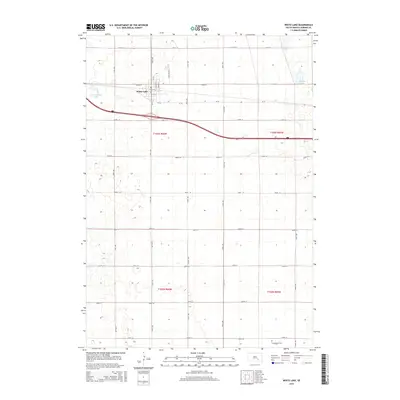
2015 Map of White Lake
USGS Topo · Published 2015About this map
White Lake serves as the primary hub of this Aurora County landscape, situated amidst a glaciated terrain defined by numerous small basins and prairie potholes. The town layout is clearly delineated by streets such as N Walnut St and N Maple St, with Cemetery Rd leading north toward open country. The surrounding rural landscape is a patchwork of section lines and water bodies, including the notable Luxemberger Lake to the west and Scott Lake to the northeast. Further south, the Crystal Lake Cem provides a specific point of interest for genealogists and local historians, sitting near the boundary of t102n r65w. The map effectively documents the intersection of modern transportation via Interstate 90 and the enduring grid of agricultural roads like CR-34 and 374th Ave.
Find a feature on this map
31 named features on this map. Tap any name to fly to it.
Don’t see what you’re looking for? This feature index may not catch every label — zoom into the map to look around manually.
Map Details
Editions of this 2015 White Lake Map
This is the sole edition of this map. No revisions or reprints were ever made.
Other maps of this area

1941 · Kimball North
USGS Topo · 1:62,500

1942 · Crow Lake
USGS Topo · 1:62,500

1951 · Kimball North
USGS Topo · 1:62,500

1955 · Mitchell
USGS Topo · 1:250,000

1959 · Mitchell
USGS Topo · 1:250,000

1979 · Cedar Grove Colony
USGS Topo · 1:24,000

1979 · Laffey Lake
USGS Topo · 1:24,000

1979 · Crystal Lake
USGS Topo · 1:24,000

1979 · White Lake
USGS Topo · 1:24,000

1979 · Platte Lake
USGS Topo · 1:24,000