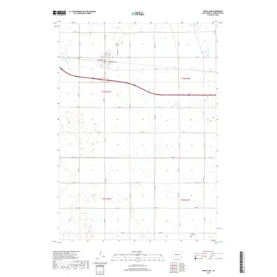
2017 Map of White Lake
USGS Topo · Published 2017About this map
White Lake serves as the central hub of this Aurora County landscape, situated at the junction of Main ST, Division ST, and High ST. The town is flanked by essential community landmarks, including the White Lake Cem to the north and Saint Peters Catholic Cem to the west. This 2017 survey illustrates a classic South Dakota grid system, where section lines like 374th Ave and 375th Ave intersect with arterial routes such as Co Rd 34 and Co Rd 36. To the south, Crystal Lake Cem sits isolated near the quadrangle boundary, while the surrounding prairie is dotted with numerous small wetlands and larger water bodies like Luxemberger Lake, Scott Lake, and Schmitz Lake. The presence of these lakes and the expansive township divisions of t103n r66w and t103n r65w reveal a rural economy deeply tied to the natural hydrology and well-maintained road network of the High Plains.
Find a feature on this map
36 named features on this map. Tap any name to fly to it.
Don’t see what you’re looking for? This feature index may not catch every label — zoom into the map to look around manually.
Map Details
Editions of this 2017 White Lake Map
This is the sole edition of this map. No revisions or reprints were ever made.
Other maps of this area

1941 · Kimball North
USGS Topo · 1:62,500

1942 · Crow Lake
USGS Topo · 1:62,500

1951 · Kimball North
USGS Topo · 1:62,500

1955 · Mitchell
USGS Topo · 1:250,000

1959 · Mitchell
USGS Topo · 1:250,000

1979 · Cedar Grove Colony
USGS Topo · 1:24,000

1979 · Laffey Lake
USGS Topo · 1:24,000

1979 · Crystal Lake
USGS Topo · 1:24,000

1979 · White Lake
USGS Topo · 1:24,000

1979 · Platte Lake
USGS Topo · 1:24,000