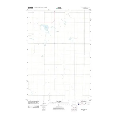
2011 Map of White Lake
USGS Topo · Published 2011About this map
White Lake and its accompanying White Lake Dam anchor this rural landscape in Slope County, where the high plains are carved by winding watercourses. The drainage of the Cannonball River moves through the northern reaches of the quadrangle, while North Cedar Creek snakes across the southern portion of the sheet. This 2011 survey captures a sparsely populated region defined by its wide, open spaces and a grid of section lines that organize the agricultural and ranching terrain. The interplay between these water bodies and the expansive North Dakota prairie highlights the essential role of water management in a region where natural lakes and man-made dams provide critical focal points for the surrounding environment.
Find a feature on this map
4 named features on this map. Tap any name to fly to it.
Don’t see what you’re looking for? This feature index may not catch every label — zoom into the map to look around manually.
Map Details
Editions of this 2011 White Lake Map
This is the sole edition of this map. No revisions or reprints were ever made.
Other maps of this area

1953 · Dickinson
USGS Topo · 1:250,000

1957 · Dickinson
USGS Topo · 1:250,000

1961 · Daglum
USGS Topo · 1:62,500

1961 · Rocky Ridge
USGS Topo · 1:62,500

1973 · White Lake
USGS Topo · 1:24,000

1973 · Warnke Hill
USGS Topo · 1:24,000

1973 · Mineral Springs
USGS Topo · 1:24,000

1973 · Amidon SE
USGS Topo · 1:24,000

1973 · Amidon
USGS Topo · 1:24,000

1973 · West Rainy Butte
USGS Topo · 1:24,000