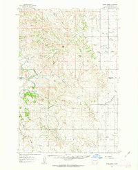
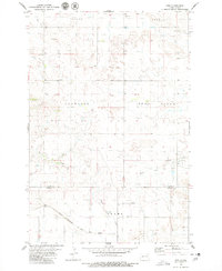
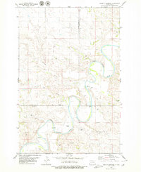
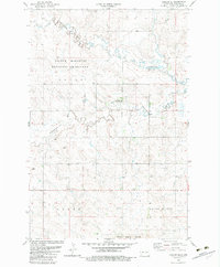
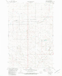
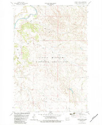
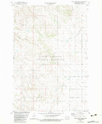
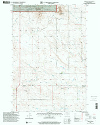
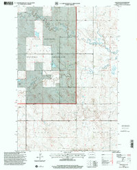
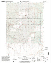
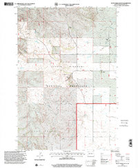
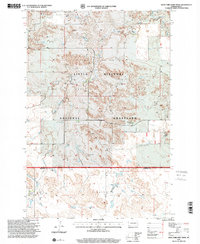
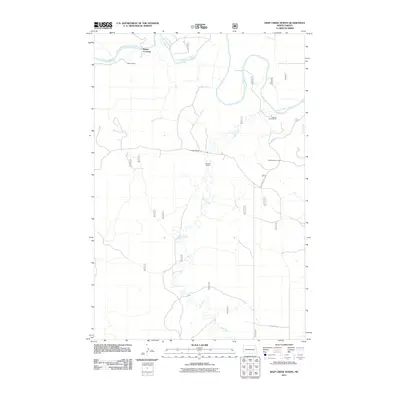
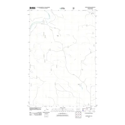
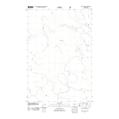
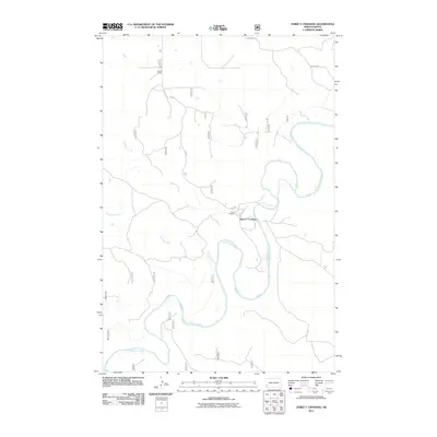
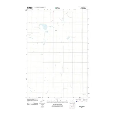
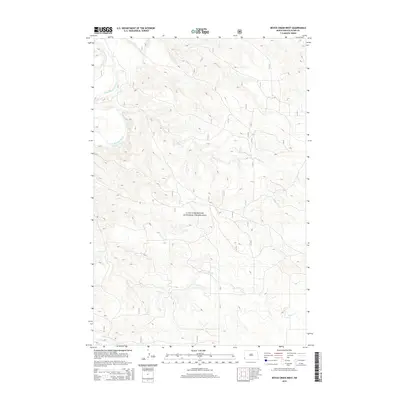
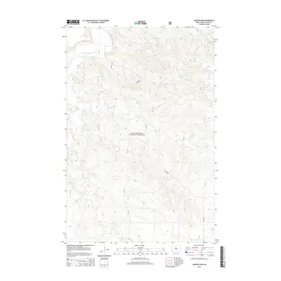
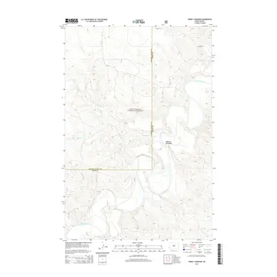
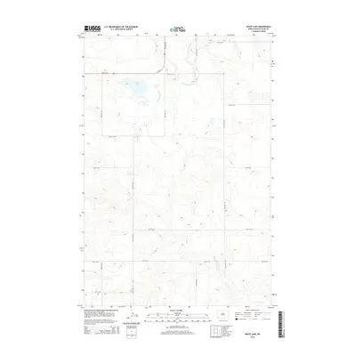
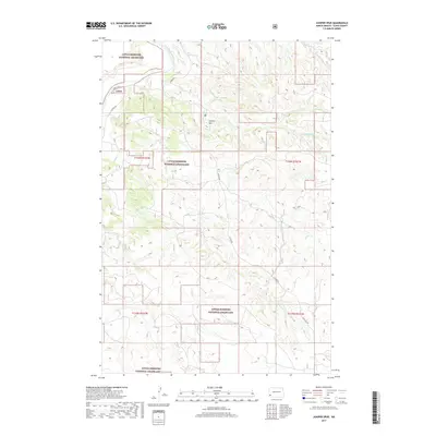
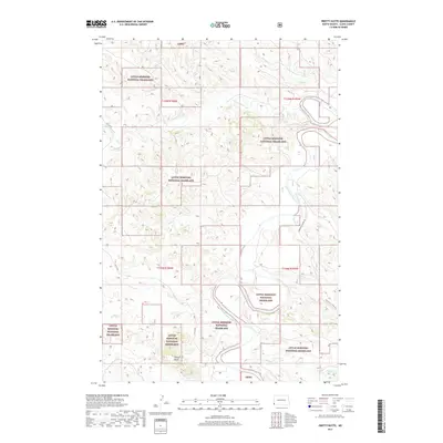
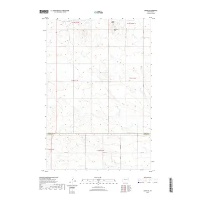
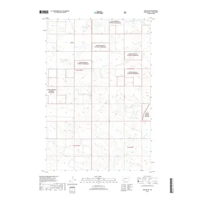
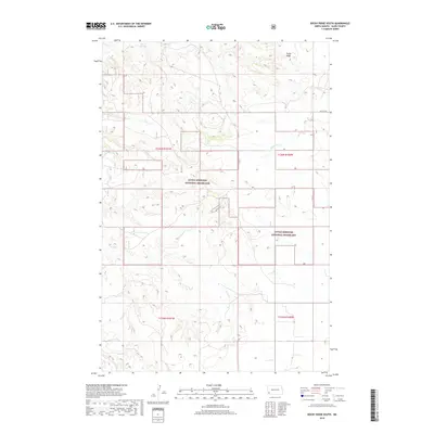
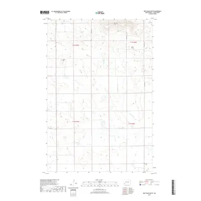
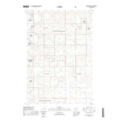
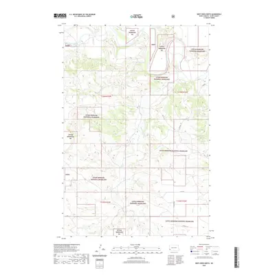
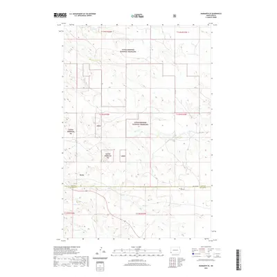
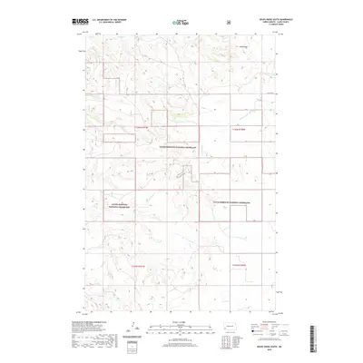
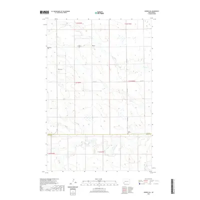
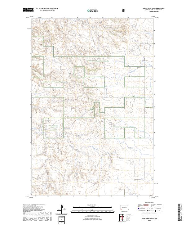
1961 Map of Rocky Ridge
USGS Topo · Published 1963About this map
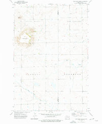
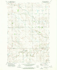
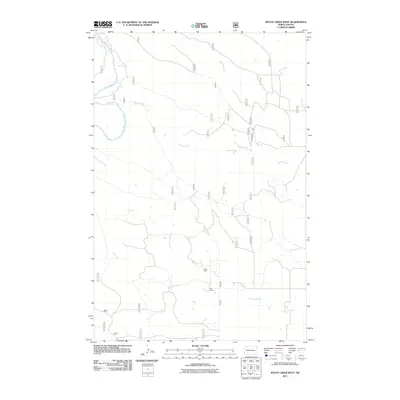
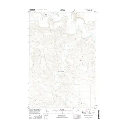
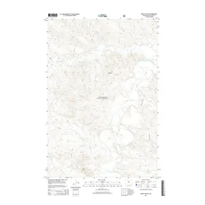
The Little Missouri River carves through the heart of this landscape, flanked by a complex system of plateaus and badlands in Slope and Billings Counties. This 1961 field-checked survey reveals a region defined by its distinct landforms, including the high ground of Cliffs Plateau and Hanley Plateau, alongside the broad Peaceful Valley. Notable geologic activity is marked by the presence of Burning Coal Veins near the river, a characteristic feature of the North Dakota badlands. Settlement is sparse, represented primarily by the Rocky Ridge Sch and White Lake Sch No 1, which served the ranching families scattered among the breaks. The economy of the era is evidenced by scattered Oil Wells and a Gravel Pit, while the rugged drainage network of North Fork Bull Creek and Whites Wash illustrates the challenging topography of the Rocky Ridge area.
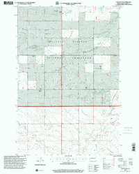
Find a feature on this map
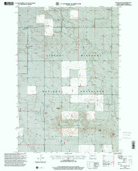
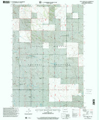
31 named features on this map. Tap any name to fly to it.
Don’t see what you’re looking for? This feature index may not catch every label — zoom into the map to look around manually.
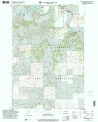
Map Details
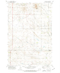
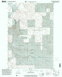
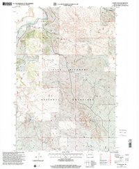
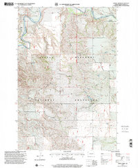
Editions of this 1961 Rocky Ridge Map
This is the sole edition of this map. No revisions or reprints were ever made.
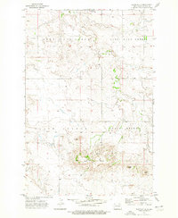
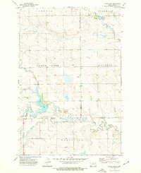
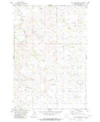
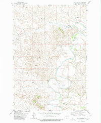
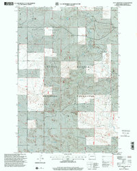
Historical Maps of Slope County Through Time
159 maps found

1961 Daglum
Slope County, ND
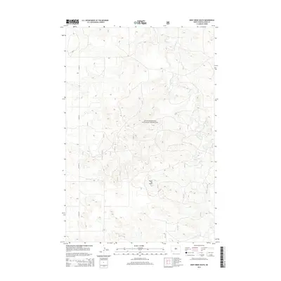
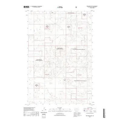
1961 Rocky Ridge
Slope County, ND
1973 Amidon SE
Slope County, ND
1973 Black Butte
Slope County, ND
1973 Cedar Lake
Slope County, ND
1973 East Rainy Butte
Slope County, ND
1973 Mineral Springs
Slope County, ND
1973 New England SW
Slope County, ND
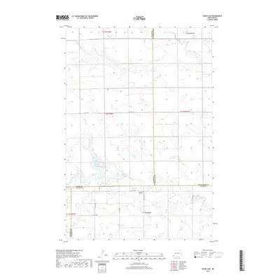
1973 Stewart Lake
Slope County, ND
1973 Warnke Hill
Slope County, ND
1973 West Rainy Butte
Slope County, ND
1973 White Lake
Slope County, ND
1979 Deep Creek North
Slope County, ND
1979 Ives
Slope County, ND
1979 Three V Crossing
Slope County, ND
1980 Boyce Creek West
Slope County, ND
1980 Pretty Butte
Slope County, ND

1980 Spring Creek
Slope County, ND
1982 Daglum SE
Slope County, ND
1982 Daglum SW
Slope County, ND
1982 Juniper Spur
Slope County, ND
1982 Rocky Ridge South
Slope County, ND
1997 Amidon SE
Slope County, ND
1997 Black Butte
Slope County, ND
1997 Boyce Creek East
Slope County, ND
1997 Boyce Creek West
Slope County, ND
1997 Daglum SE
Slope County, ND
1997 Daglum SW
Slope County, ND
1997 Deep Creek North
Slope County, ND
1997 Deep Creek South
Slope County, ND
1997 Ives
Slope County, ND
1997 Juniper Spur
Slope County, ND
1997 Marmarth SE
Slope County, ND
1997 Pretty Butte
Slope County, ND
1997 Rocky Ridge South
Slope County, ND
1997 Spring Creek
Slope County, ND
1997 Stewart Lake
Slope County, ND
1997 Three V Crossing
Slope County, ND
1997 West Fork Deep Creek
Slope County, ND
2011 Amidon SE
Slope County, ND
2011 Black Butte
Slope County, ND
2011 Boyce Creek East
Slope County, ND
2011 Boyce Creek West
Slope County, ND
2011 Cedar Lake
Slope County, ND
2011 Daglum SE
Slope County, ND
2011 Daglum SW
Slope County, ND
2011 Deep Creek North
Slope County, ND
2011 Deep Creek South
Slope County, ND
2011 East Rainy Butte
Slope County, ND
2011 Ives
Slope County, ND
2011 Juniper Spur
Slope County, ND
2011 Marmarth SE
Slope County, ND
2011 Mineral Springs
Slope County, ND
2011 New England SW
Slope County, ND
2011 Pretty Butte
Slope County, ND
2011 Rocky Ridge South
Slope County, ND
2011 Spring Creek
Slope County, ND
2011 Stewart Lake
Slope County, ND
2011 Three V Crossing
Slope County, ND
2011 Warnke Hill
Slope County, ND
2011 West Fork Deep Creek
Slope County, ND
2011 West Rainy Butte
Slope County, ND
2011 White Lake
Slope County, ND
2014 Amidon SE
Slope County, ND
2014 Black Butte
Slope County, ND
2014 Boyce Creek East
Slope County, ND
2014 Boyce Creek West
Slope County, ND
2014 Cedar Lake
Slope County, ND
2014 Daglum SE
Slope County, ND
2014 Daglum SW
Slope County, ND
2014 Deep Creek North
Slope County, ND
2014 Deep Creek South
Slope County, ND
2014 East Rainy Butte
Slope County, ND
2014 Ives
Slope County, ND
2014 Juniper Spur
Slope County, ND
2014 Marmarth SE
Slope County, ND
2014 Mineral Springs
Slope County, ND
2014 New England SW
Slope County, ND
2014 Pretty Butte
Slope County, ND
2014 Rocky Ridge South
Slope County, ND
2014 Spring Creek
Slope County, ND
2014 Stewart Lake
Slope County, ND
2014 Three V Crossing
Slope County, ND
2014 Warnke Hill
Slope County, ND
2014 West Fork Deep Creek
Slope County, ND
2014 West Rainy Butte
Slope County, ND
2014 White Lake
Slope County, ND
2017 Daglum SE
Slope County, ND
2017 Deep Creek North
Slope County, ND
2017 Deep Creek South
Slope County, ND
2017 Juniper Spur
Slope County, ND
2017 Marmarth SE
Slope County, ND
2017 Mineral Springs
Slope County, ND
2017 New England SW
Slope County, ND
2017 Pretty Butte
Slope County, ND
2017 Warnke Hill
Slope County, ND
2017 West Fork Deep Creek
Slope County, ND
2017 White Lake
Slope County, ND
2018 Amidon SE
Slope County, ND
2018 Black Butte
Slope County, ND
2018 Boyce Creek East
Slope County, ND
2018 Boyce Creek West
Slope County, ND
2018 Cedar Lake
Slope County, ND
2018 Daglum SW
Slope County, ND
2018 East Rainy Butte
Slope County, ND
2018 Ives
Slope County, ND
2018 Rocky Ridge South
Slope County, ND
2018 Spring Creek
Slope County, ND
2018 Stewart Lake
Slope County, ND
2018 Three V Crossing
Slope County, ND
2018 West Rainy Butte
Slope County, ND
2020 Amidon SE
Slope County, ND
2020 Black Butte
Slope County, ND
2020 Boyce Creek East
Slope County, ND
2020 Boyce Creek West
Slope County, ND
2020 Cedar Lake
Slope County, ND
2020 Daglum SE
Slope County, ND
2020 Daglum SW
Slope County, ND
2020 Deep Creek North
Slope County, ND
2020 Deep Creek South
Slope County, ND

2020 East Rainy Butte
Slope County, ND
2020 Ives
Slope County, ND
2020 Juniper Spur
Slope County, ND
2020 Marmarth SE
Slope County, ND
2020 Mineral Springs
Slope County, ND
2020 New England SW
Slope County, ND
2020 Pretty Butte
Slope County, ND
2020 Rocky Ridge South
Slope County, ND
2020 Spring Creek
Slope County, ND
2020 Stewart Lake
Slope County, ND
2020 Three V Crossing
Slope County, ND
2020 Warnke Hill
Slope County, ND
2020 West Fork Deep Creek
Slope County, ND
2020 West Rainy Butte
Slope County, ND
2020 White Lake
Slope County, ND
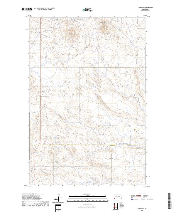
2024 Amidon SE
Slope County, ND
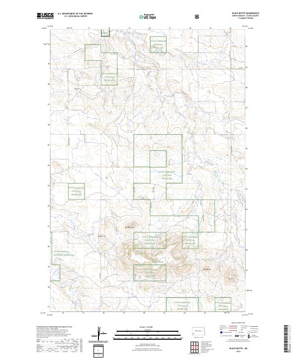
2024 Black Butte
Slope County, ND
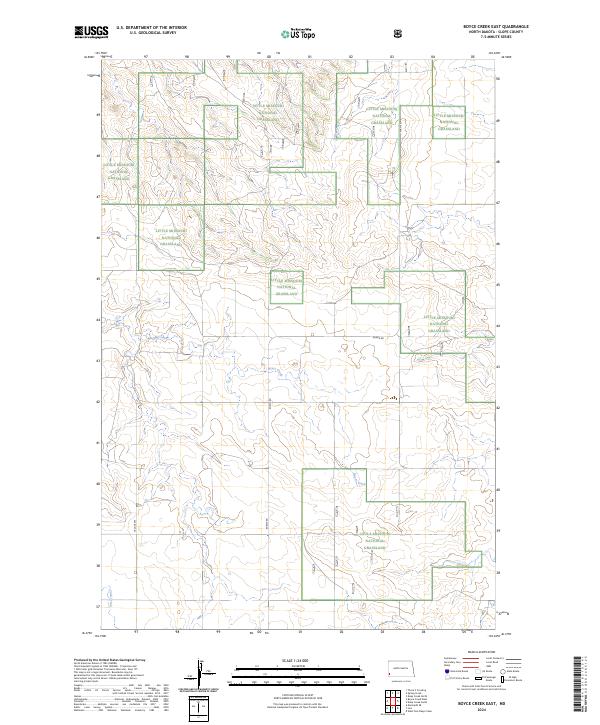
2024 Boyce Creek East
Slope County, ND
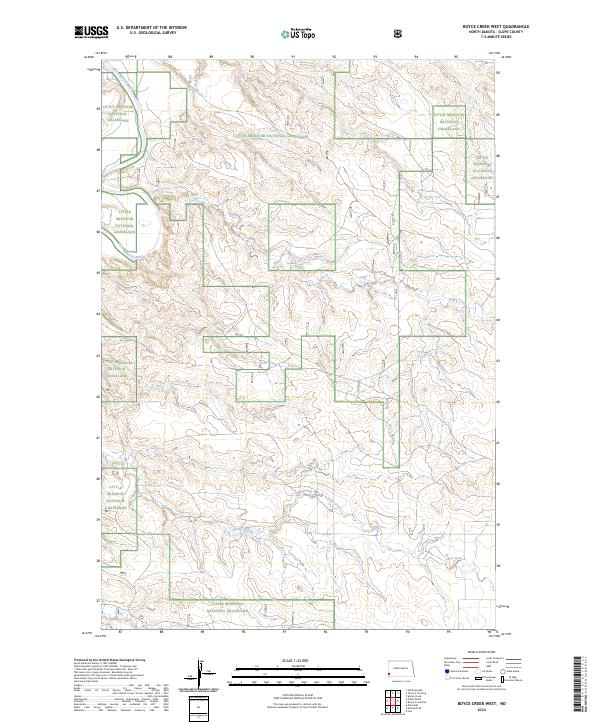
2024 Boyce Creek West
Slope County, ND
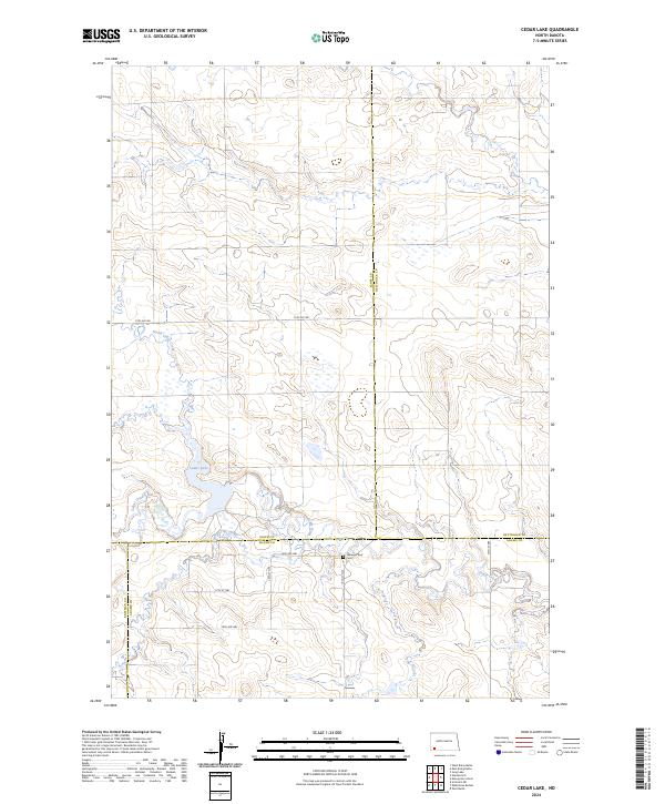
2024 Cedar Lake
Slope County, ND
2024 Daglum SE
Slope County, ND
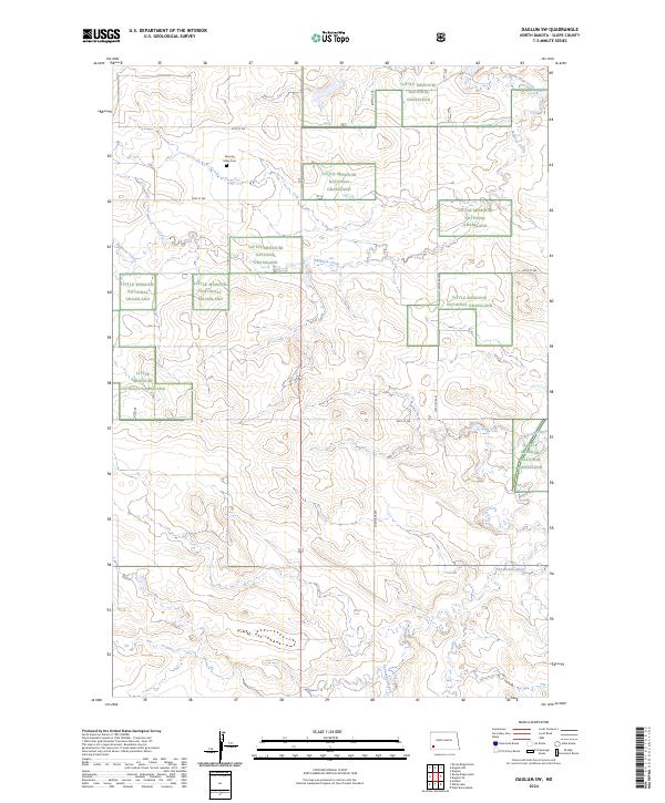
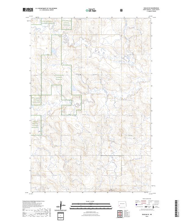
2024 Daglum SW
Slope County, ND
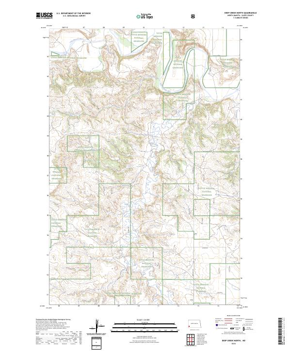
2024 Deep Creek North
Slope County, ND
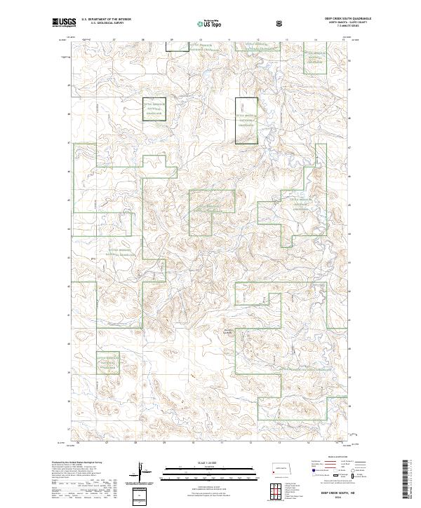
2024 Deep Creek South
Slope County, ND
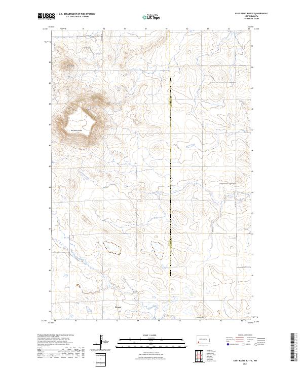
2024 East Rainy Butte
Slope County, ND
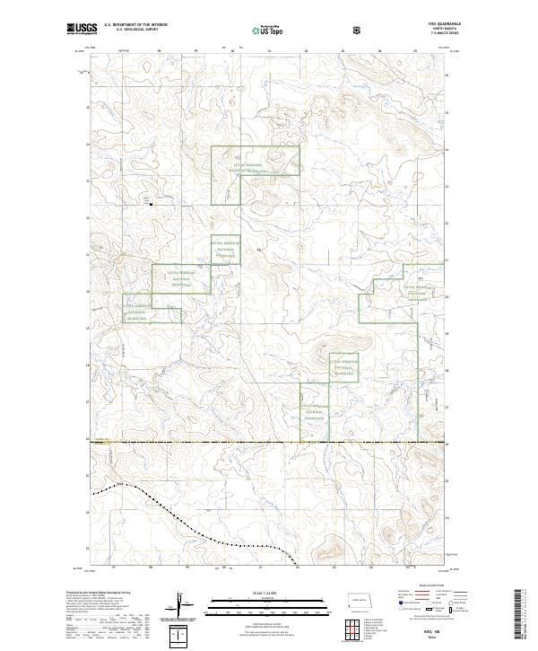
2024 Ives
Slope County, ND

2024 Juniper Spur
Slope County, ND
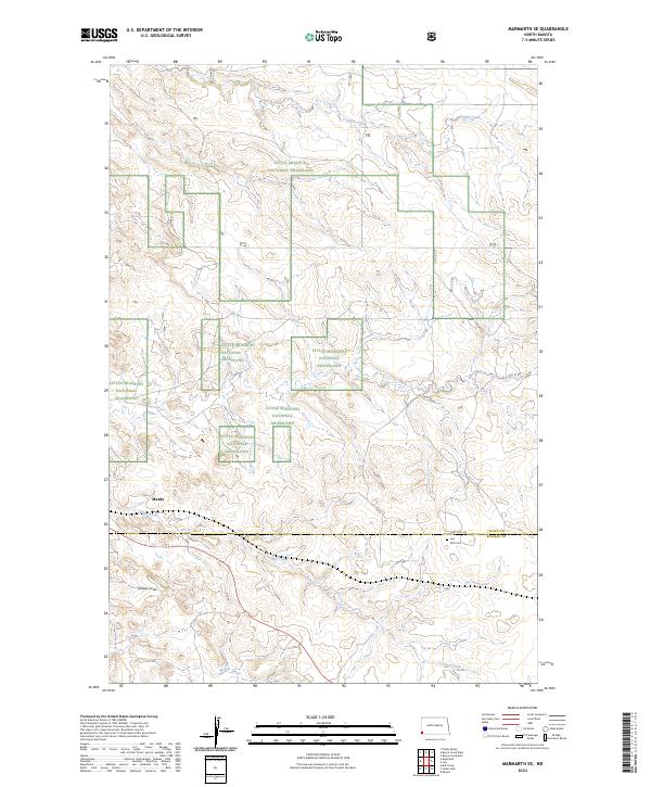
2024 Marmarth SE
Slope County, ND
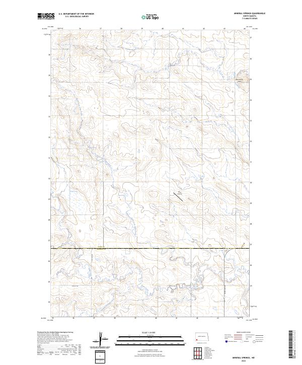
2024 Mineral Springs
Slope County, ND
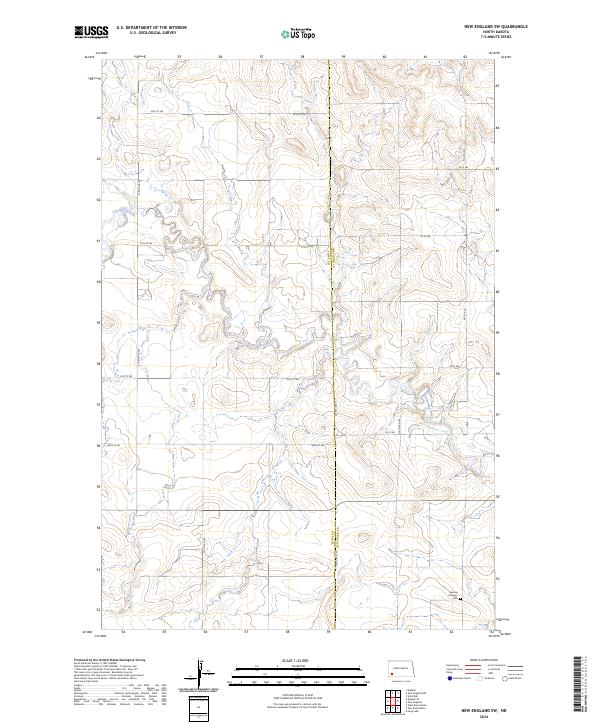
2024 New England SW
Slope County, ND
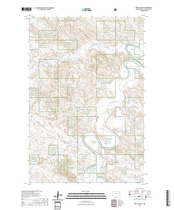
2024 Pretty Butte
Slope County, ND
2024 Rocky Ridge South
Slope County, ND
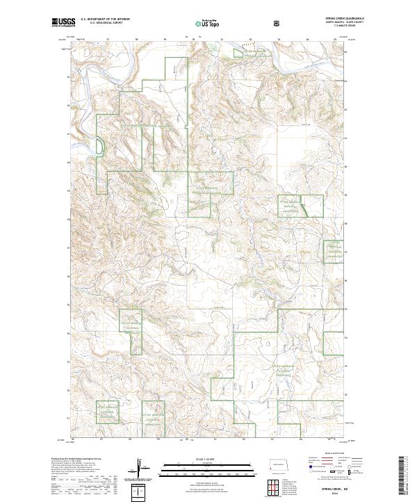
2024 Spring Creek
Slope County, ND
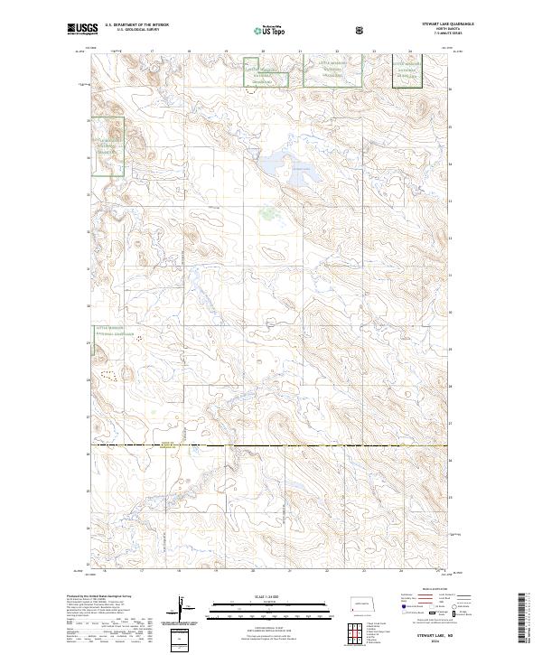
2024 Stewart Lake
Slope County, ND
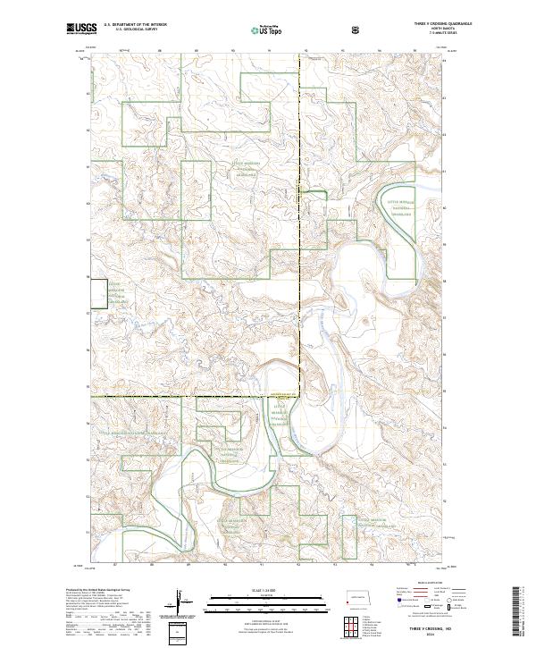
2024 Three V Crossing
Slope County, ND
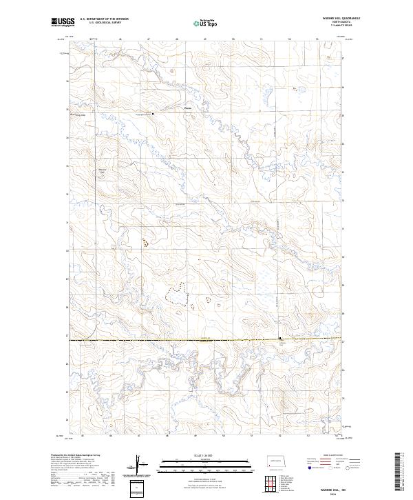
2024 Warnke Hill
Slope County, ND
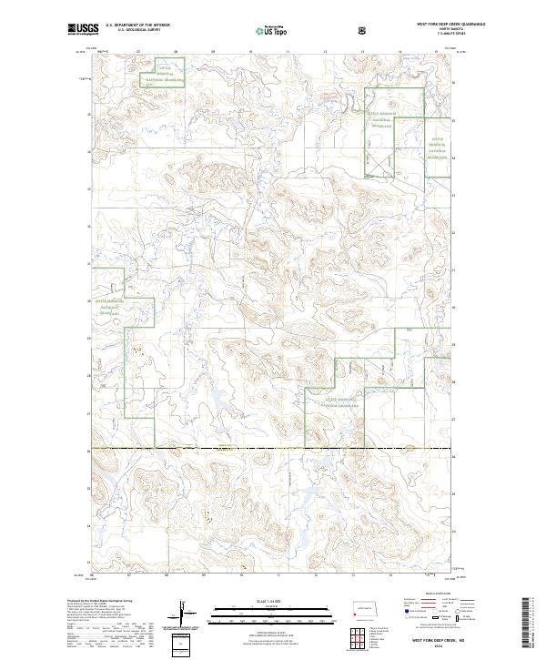
2024 West Fork Deep Creek
Slope County, ND
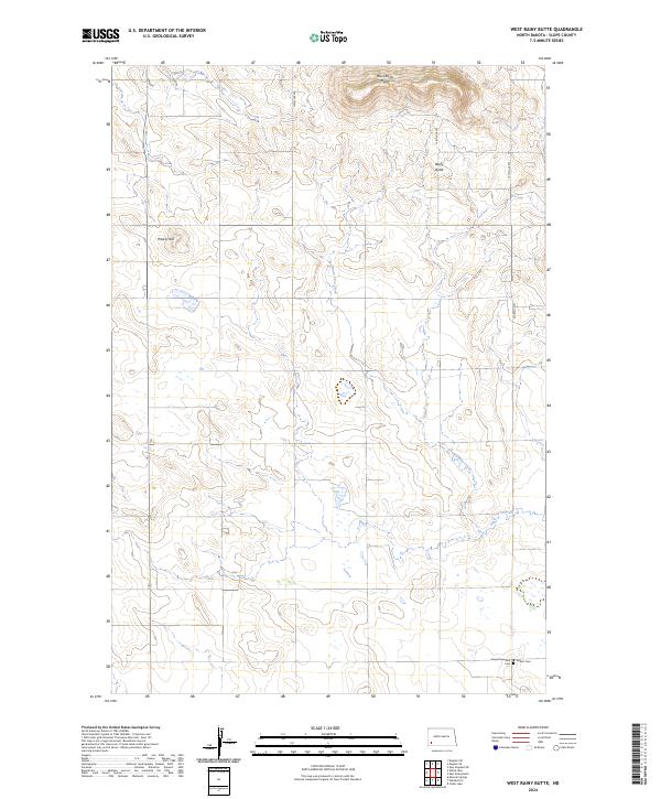
2024 West Rainy Butte
Slope County, ND
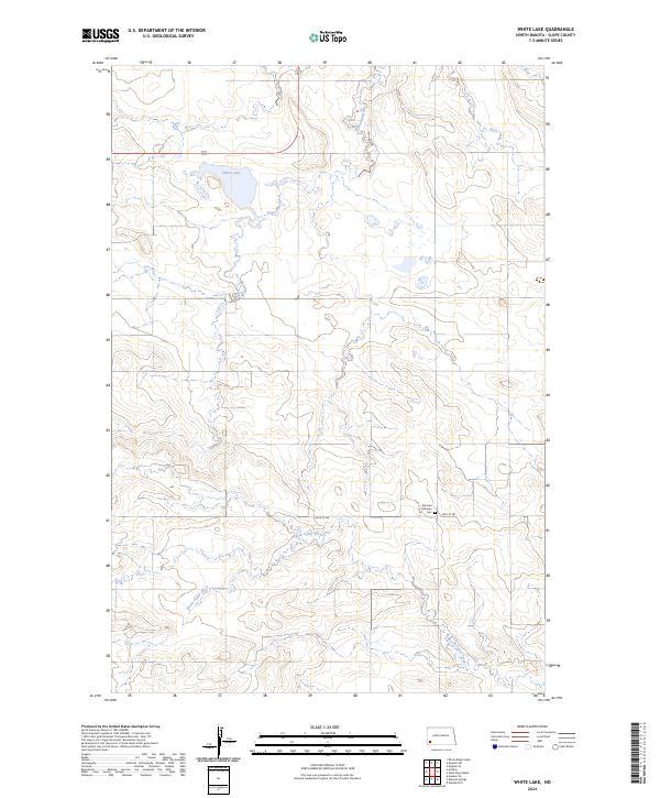
2024 White Lake
Slope County, ND