
1962 Map of Tracy Mountain
USGS Topo · Published 1964About this map
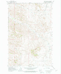
Tracy Mountain rises above a landscape defined by deep drainages and industrial extractive sites in the early 1960s. The Northern Pacific railroad cuts through the northern section, following the path of Sully Creek near the seasonal watering point of Sully Springs. This area of Billings County is characterized by its agricultural research and resource history, evidenced by the State Experiment Station and multiple Scoria pits and a Mine located near the southern boundary.
Find a feature on this map
15 named features on this map. Tap any name to fly to it.
Don’t see what you’re looking for? This feature index may not catch every label — zoom into the map to look around manually.
Map Details
Editions of this 1962 Tracy Mountain Map
2 editions found
Other maps of this area

1953 · Dickinson
USGS Topo · 1:250,000

1957 · Dickinson
USGS Topo · 1:250,000

1961 · Rocky Ridge
USGS Topo · 1:62,500

1962 · Fryburg NE
USGS Topo · 1:24,000

1962 · Fryburg
USGS Topo · 1:24,000

1962 · Fryburg NW
USGS Topo · 1:24,000

1970 · Medora
USGS Topo · 1:24,000
1979 · Chimney Butte
USGS Topo · 1:24,000

1979 · Bullion Butte
USGS Topo · 1:24,000

1980 · Belfield
USGS Topo · 1:100,000