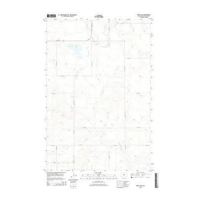
2014 Map of White Lake
USGS Topo · Published 2014About this map
White Lake and the upper reaches of the Cannonball River anchor this sparsely settled portion of Slope County. The landscape is defined by the high plains drainage of N Cedar Cr in the south, where the terrain breaks into more complex contour patterns away from the flat agricultural tablelands. A strictly rectangular section-line road grid, including 64th St Sw and 136th Ave Sw, segments the territory, while 85 Sw provides the primary north-south transit corridor through the river valley. This 2014 survey illustrates the persistence of the homestead-era land division system, where large-scale ranching and farming operations are linked by an extensive network of local roads such as 70th St Sw and 134th Ave Sw.
Find a feature on this map
17 named features on this map. Tap any name to fly to it.
Don’t see what you’re looking for? This feature index may not catch every label — zoom into the map to look around manually.
Map Details
Editions of this 2014 White Lake Map
This is the sole edition of this map. No revisions or reprints were ever made.
Other maps of this area

1953 · Dickinson
USGS Topo · 1:250,000

1957 · Dickinson
USGS Topo · 1:250,000

1961 · Daglum
USGS Topo · 1:62,500

1961 · Rocky Ridge
USGS Topo · 1:62,500

1973 · White Lake
USGS Topo · 1:24,000

1973 · Warnke Hill
USGS Topo · 1:24,000

1973 · Mineral Springs
USGS Topo · 1:24,000

1973 · Amidon SE
USGS Topo · 1:24,000

1973 · Amidon
USGS Topo · 1:24,000

1973 · West Rainy Butte
USGS Topo · 1:24,000