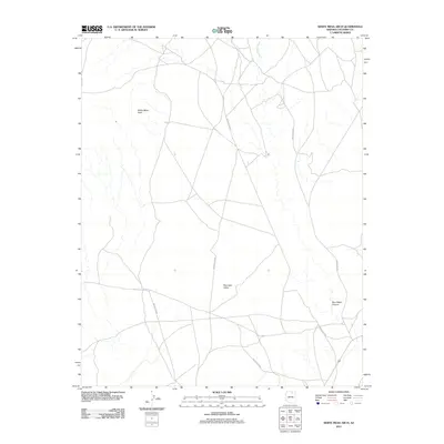
2011 Map of White Mesa Arch
USGS Topo · Published 2011About this map
White Mesa Arch stands as the primary landmark in this corner of Coconino County, set within a landscape defined by dramatic geological formations and remote desert routes. The terrain is marked by the broad expanse of Red Lake Valley and the carved path of Sour Water Canyon, which drains into Sour Water Wash toward the northeast. This 2011 survey by the U.S. Geological Survey details a network of tribal roads including Indian Rte 16 and Indian Rte 6270, which navigate the open plateaus and drainage systems. The map illustrates a modern state of the Navajo Nation interior, where transportation relies on these established routes through the arid basin and range topography.
Find a feature on this map
8 named features on this map. Tap any name to fly to it.
Don’t see what you’re looking for? This feature index may not catch every label — zoom into the map to look around manually.
Map Details
Editions of this 2011 White Mesa Arch Map
This is the sole edition of this map. No revisions or reprints were ever made.
Other maps of this area

1883 · Marsh Pass
USGS Topo · 1:250,000

1886 · Echo Cliffs
USGS Topo · 1:250,000

1891 · Echo Cliffs
USGS Topo · 1:250,000

1892 · Marsh Pass
USGS Topo · 1:250,000

1956 · Marble Canyon
USGS Topo · 1:250,000

1959 · Marble Canyon
USGS Topo · 1:250,000

1961 · Marble Canyon
USGS Topo · 1:250,000

1970 · Cow Springs
USGS Topo · 1:24,000

1970 · Square Butte
USGS Topo · 1:24,000

1970 · Whirlwind Rock
USGS Topo · 1:24,000