
1970 Map of Square Butte
USGS Topo · Published 1972About this map
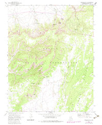
White Mesa dominates the central landscape of this territory within the Navajo Indian Reservation, where steep escarpments and canyon washes define the movement of water and people. The map reveals a land structured by ancient and natural landmarks, including a Cliff Dwelling tucked into the mesa's edge and distinctive geological formations like Window Rock and Navajo Stand Rock. Settlement patterns here are tied strictly to the sparse availability of water, indicated by remote outposts such as Square Butte Spring and Long Canyon Spring.
Find a feature on this map
24 named features on this map. Tap any name to fly to it.
Don’t see what you’re looking for? This feature index may not catch every label — zoom into the map to look around manually.
Map Details
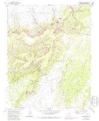
Editions of this 1970 Square Butte Map
3 editions found
Other maps of this area

1883 · Marsh Pass
USGS Topo · 1:250,000

1886 · Echo Cliffs
USGS Topo · 1:250,000

1891 · Echo Cliffs
USGS Topo · 1:250,000

1892 · Marsh Pass
USGS Topo · 1:250,000

1956 · Marble Canyon
USGS Topo · 1:250,000

1959 · Marble Canyon
USGS Topo · 1:250,000

1961 · Marble Canyon
USGS Topo · 1:250,000

1970 · Cow Springs
USGS Topo · 1:24,000

1970 · Whirlwind Rock
USGS Topo · 1:24,000
1970 · Two Red Mesas
USGS Topo · 1:24,000