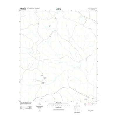
2011 Map of White Oak
USGS Topo · Published 2011About this map
The crossroads of White Oak serves as a central anchor for this part of Barbour County, where the rural landscape is defined by the winding paths of Barbour Creek and Leak Creek. This 2011 survey details a territory heavily marked by family and community history, evidenced by the numerous burial sites such as the Beauchamp Family Cemetery and the Perkins-Evans Cemetery. The map reflects a classic Southern agricultural and timber landscape, with roads like Louisiana Pacific Rd and Poorhouse Rd hinting at the local industries and historical social structures of the area.
Find a feature on this map
29 named features on this map. Tap any name to fly to it.
Don’t see what you’re looking for? This feature index may not catch every label — zoom into the map to look around manually.
Map Details
Editions of this 2011 White Oak Map
This is the sole edition of this map. No revisions or reprints were ever made.
Other maps of this area

1953 · Dothan
USGS Topo · 1:250,000

1954 · Dothan
USGS Topo · 1:250,000

1955 · Dothan
USGS Topo · 1:250,000

1955 · Phenix City
USGS Topo · 1:250,000

1957 · Phenix City
USGS Topo · 1:250,000

1958 · Phenix City
USGS Topo · 1:250,000

1967 · Clayton South
USGS Topo · 1:24,000

1968 · Eufaula North
USGS Topo · 1:24,000

1968 · Baker Hill
USGS Topo · 1:24,000

1968 · White Oak
USGS Topo · 1:24,000