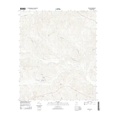
2014 Map of White Oak
USGS Topo · Published 2014About this map
White Oak serves as a central landmark in this 2014 survey of Barbour County, where the landscape is defined by a dense network of creek drainages and family legacies. The area is heavily intersected by water, including the winding Barbour Cr and its various tributaries such as Leak Cr and Dowdy Cr. Genealogists will find significant value in the distribution of burial grounds throughout the countryside, such as the Beauchamp Family Cem and Perkins Evans Cem located near the junction of CR-79 and Oneal Griffin Rd. The southern portion of the map is crossed by Al-30, providing a modern corridor through a region still characterized by timber and agricultural lands, as evidenced by the presence of Louisiana Pacific Rd. From Wyecott Lake in the north to the Mt Serene Cem further south, this map documents the persistent rural patterns of eastern Alabama.
Find a feature on this map
29 named features on this map. Tap any name to fly to it.
Don’t see what you’re looking for? This feature index may not catch every label — zoom into the map to look around manually.
Map Details
Editions of this 2014 White Oak Map
This is the sole edition of this map. No revisions or reprints were ever made.
Other maps of this area

1953 · Dothan
USGS Topo · 1:250,000

1954 · Dothan
USGS Topo · 1:250,000

1955 · Dothan
USGS Topo · 1:250,000

1955 · Phenix City
USGS Topo · 1:250,000

1957 · Phenix City
USGS Topo · 1:250,000

1958 · Phenix City
USGS Topo · 1:250,000

1967 · Clayton South
USGS Topo · 1:24,000

1968 · Eufaula North
USGS Topo · 1:24,000

1968 · Baker Hill
USGS Topo · 1:24,000

1968 · White Oak
USGS Topo · 1:24,000