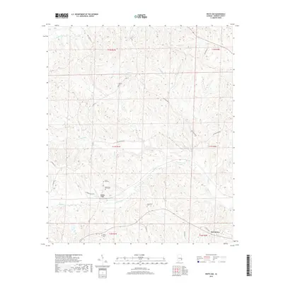
2018 Map of White Oak
USGS Topo · Published 2018About this map
The community of White Oak anchors this section of Barbour County, where the landscape is defined by the winding tributaries of the Barbour Cr and Chewalla Cr basins. Several family and community burial sites provide significant genealogical value for the area, including the Perkins-Evans Cem, Beauchamp Family Cem, and Academy Cem. The road network reflects a mix of older thoroughfares and industrial access, such as Old Batesville Rd and Louisiana Pacific Rd. In the southern reaches, the outskirts of Eufaula begin to emerge along Outback Rd, while small water bodies like Claytons Pond dot the northern terrain. This survey illustrates the persistent rural character of the Alabama coastal plain, where creek branches like Leak Cr and Cooper Br continue to shape the local geography and property boundaries.
Find a feature on this map
31 named features on this map. Tap any name to fly to it.
Don’t see what you’re looking for? This feature index may not catch every label — zoom into the map to look around manually.
Map Details
Editions of this 2018 White Oak Map
This is the sole edition of this map. No revisions or reprints were ever made.
Other maps of this area

1953 · Dothan
USGS Topo · 1:250,000

1954 · Dothan
USGS Topo · 1:250,000

1955 · Dothan
USGS Topo · 1:250,000

1955 · Phenix City
USGS Topo · 1:250,000

1957 · Phenix City
USGS Topo · 1:250,000

1958 · Phenix City
USGS Topo · 1:250,000

1967 · Clayton South
USGS Topo · 1:24,000

1968 · Eufaula North
USGS Topo · 1:24,000

1968 · Baker Hill
USGS Topo · 1:24,000

1968 · White Oak
USGS Topo · 1:24,000