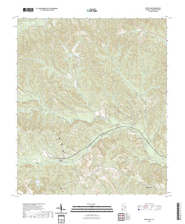
2024 Map of White Oak
USGS Topo · Published 2024About this map
White Oak and the surrounding rural landscapes of Barbour County are defined by a network of historic family and church cemeteries that speak to generations of local settlement. The terrain is marked by gentle drainages such as Peak Creek and the small waters of Claytons Pond, set within a grid of legacy routes including Old Batesville Rd and Poorhouse Rd. Genealogists will find particular value in the distribution of family-named burial sites like the Beauchamp Family Cem and the Perkins Evans Cem. The presence of the Tabernacle AME Church Cem further illustrates the intersection of community life and the landscape in this Alabama interior. This 2024 survey documents a quiet rural pocket where the original land survey boundaries, such as those for t11n r27e, continue to frame the local road and property systems.
Find a feature on this map
23 named features on this map. Tap any name to fly to it.
Don’t see what you’re looking for? This feature index may not catch every label — zoom into the map to look around manually.
Map Details
Editions of this 2024 White Oak Map
This is the sole edition of this map. No revisions or reprints were ever made.
Other maps of this area

1953 · Dothan
USGS Topo · 1:250,000

1954 · Dothan
USGS Topo · 1:250,000

1955 · Dothan
USGS Topo · 1:250,000

1955 · Phenix City
USGS Topo · 1:250,000

1957 · Phenix City
USGS Topo · 1:250,000

1958 · Phenix City
USGS Topo · 1:250,000

1967 · Clayton South
USGS Topo · 1:24,000

1968 · Eufaula North
USGS Topo · 1:24,000

1968 · Baker Hill
USGS Topo · 1:24,000

1968 · White Oak
USGS Topo · 1:24,000