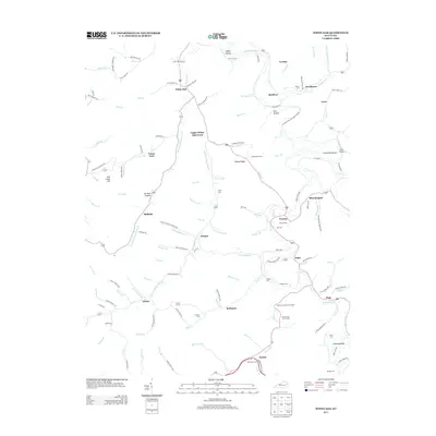
2013 Map of White Oak
USGS Topo · Published 2013About this map
The Licking River winds through this section of eastern Kentucky, serving as the central artery for a landscape defined by narrow hollows and high ridges like Ditney Ridge. Numerous small settlements are clustered along the river and its tributaries, including White Oak, Bloomington, and Kernie. The map reveals a deeply personal geography through its extensive record of family burial grounds, such as the Andrew Jackson Patton Cem, Patrick and Lovely Cem, and Saul Howard Cem. These cemeteries, often situated on hillsides overlooking family lands, provide a vital record for genealogical research in Magoffin County. Roadways like Old Elam Rd and Bloomington-Cisco-Matthew Rd connect these dispersed communities, following the natural contours of the valley floors near Upper White Oak Creek and the Licking River.
Find a feature on this map
135 named features on this map. Tap any name to fly to it.
Don’t see what you’re looking for? This feature index may not catch every label — zoom into the map to look around manually.
Map Details
Editions of this 2013 White Oak Map
This is the sole edition of this map. No revisions or reprints were ever made.
Other maps of this area

1889 · Salyersville
USGS Topo · 1:125,000

1891 · Salyersville
USGS Topo · 1:125,000

1899 · Salyersville
USGS Topo · 1:125,000

1950 · Lenox
USGS Topo · 1:24,000

1951 · Cannel City
USGS Topo · 1:24,000

1951 · White Oak
USGS Topo · 1:24,000
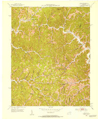
1951 · Dingus
USGS Topo · 1:24,000
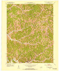
1951 · Salyersville North
USGS Topo · 1:24,000
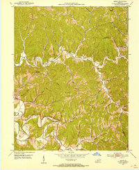
1951 · Lenox
USGS Topo · 1:24,000

1951 · Seitz
USGS Topo · 1:24,000