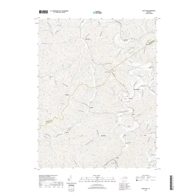
2019 Map of White Oak
USGS Topo · Published 2019About this map
White Oak and surrounding communities in Morgan and Magoffin Counties are defined by the winding course of the Licking River, which carves through the Kentucky hills. This terrain is characterized by a dense network of branches and forks, including Vance Fork and Grape Creek, which historically dictated the placement of homesteads and small settlements. The map reveals a deeply personal geography through its numerous family cemeteries, such as the Andrew Jackson Patton Cem and the Patrick and Lovely Cem, which are tucked into the hollows near Bethanna and Kernie. Modern transportation is represented by the Bert T Combs Mountain Pkwy cutting across the southern portion, contrasting with the older, creek-side routes like Lick Creek Rd and Jones Creek Rd that connect rural points like Holliday and Wonnie.
Find a feature on this map
119 named features on this map. Tap any name to fly to it.
Don’t see what you’re looking for? This feature index may not catch every label — zoom into the map to look around manually.
Map Details
Editions of this 2019 White Oak Map
This is the sole edition of this map. No revisions or reprints were ever made.
Other maps of this area

1889 · Salyersville
USGS Topo · 1:125,000

1891 · Salyersville
USGS Topo · 1:125,000

1899 · Salyersville
USGS Topo · 1:125,000

1950 · Lenox
USGS Topo · 1:24,000

1951 · Cannel City
USGS Topo · 1:24,000

1951 · White Oak
USGS Topo · 1:24,000
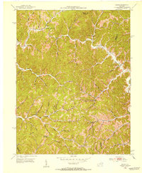
1951 · Dingus
USGS Topo · 1:24,000
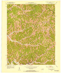
1951 · Salyersville North
USGS Topo · 1:24,000
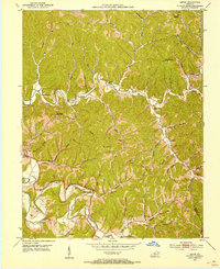
1951 · Lenox
USGS Topo · 1:24,000

1951 · Seitz
USGS Topo · 1:24,000