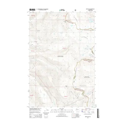
2014 Map of White Pass
USGS Topo · Published 2014About this map
White Pass and the high ridge line of the Cascade Range divide the Gifford Pinchot National Forest from the Snoqualmie National Forest, marking the boundary between Lewis and Yakima counties. This alpine region is defined by a dense network of water bodies and trails, including the Pacific Crest National Scenic Trail, which traverses the terrain from north to south. Notable back-country infrastructure includes the Sand Lake Shelter and Skeeter Shelter, providing refuge along these high-altitude routes.
Find a feature on this map
43 named features on this map. Tap any name to fly to it.
Don’t see what you’re looking for? This feature index may not catch every label — zoom into the map to look around manually.
Map Details
Editions of this 2014 White Pass Map
This is the sole edition of this map. No revisions or reprints were ever made.
Other maps of this area

1902 · Mount Aix
USGS Topo · 1:125,000

1904 · Mt Aix
USGS Topo · 1:125,000

1924 · Mt Rainier
USGS Topo · 1:96,000

1928 · Mt Rainier
USGS Topo · 1:125,000

1950 · Yakima
USGS Topo · 1:250,000

1958 · Yakima
USGS Topo · 1:250,000

1961 · Yakima
USGS Topo · 1:250,000

1962 · Bumping Lake
USGS Topo · 1:62,500

1962 · White Pass
USGS Topo · 1:62,500

1962 · Packwood
USGS Topo · 1:62,500