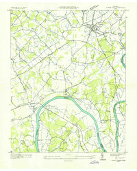
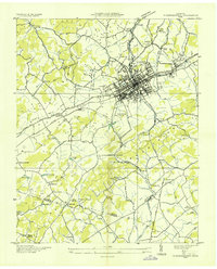
1935 Map of White Pine
USGS Topo · Published 1935About this map
French Broad River flows through the heart of this East Tennessee landscape, just before the Tennessee Valley Authority’s major dam projects altered the regional hydrology. The town of White Pine serves as a primary hub, intersected by the Southern railway and U S Highway No 25 E, illustrating a community defined by its transport connections. Along the river, features like Indian Walk Shoals and the Swann Bridge mark the era's physical crossings and navigation points.
Find a feature on this map
70 named features on this map. Tap any name to fly to it.
Don’t see what you’re looking for? This feature index may not catch every label — zoom into the map to look around manually.
Map Details
Editions of this 1935 White Pine Map
This is the sole edition of this map. No revisions or reprints were ever made.
Other maps of this area

1883 · Morristown
USGS Topo · 1:125,000

1893 · Mt Guyot
USGS Topo · 1:125,000

1893 · Morristown
USGS Topo · 1:125,000

1895 · Morristown
USGS Topo · 1:125,000

1912 · Mt Guyot
USGS Topo · 1:125,000

1935 · Newport
USGS Topo · 1:48,000
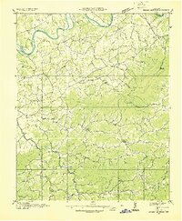
1935 · English Mountain
USGS Topo · 1:48,000
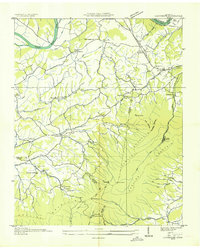
1935 · Clevenger
USGS Topo · 1:24,000
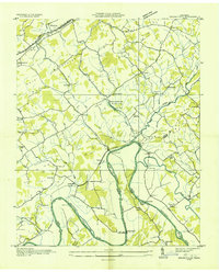
1935 · Springvale
USGS Topo · 1:24,000
1935 · Morristown
USGS Topo · 1:24,000