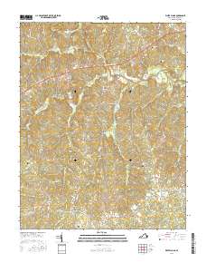
2016 Map of White Plains
USGS Topo · Published 2016About this map
Meherrin River drainage patterns define this Southside Virginia landscape, where small rural hubs and family landmarks persisted into the early 21st century. The map documents long-established Brunwsick County settlements such as White Plains and Gholsonville, alongside smaller intersections like Merchant and Bowers Corner. This era shows a network of named country roads and trails, including Whippoorwill Trl and Copperhead Trl, weaving through a topography cut by numerous creeks like Little Poplar Cr and Hicks Cr.
Find a feature on this map
54 named features on this map. Tap any name to fly to it.
Don’t see what you’re looking for? This feature index may not catch every label — zoom into the map to look around manually.
Map Details
Editions of this 2016 White Plains Map
This is the sole edition of this map. No revisions or reprints were ever made.
Other maps of this area

1918 · Lawrenceville
USGS Topo · 1:62,500

1919 · White Plains
USGS Topo · 1:48,000

1920 · Lawrenceville
USGS Topo · 1:48,000

1920 · White Plains
USGS Topo · 1:62,500

1921 · Lawrenceville
USGS Topo · 1:62,500

1942 · Lawrenceville
USGS Topo · 1:62,500

1953 · Norfolk
USGS Topo · 1:250,000

1953 · Greensboro
USGS Topo · 1:250,000

1954 · Greensboro
USGS Topo · 1:250,000

1955 · Kenbridge
USGS Topo · 1:62,500