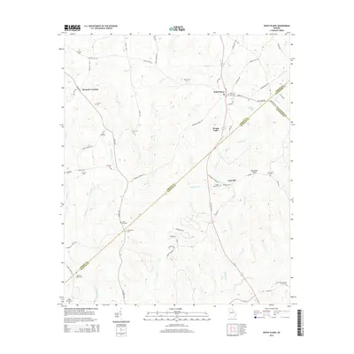
2014 Map of White Plains
USGS Topo · Published 2014About this map
White Plains serves as the central hub of this Middle Georgia landscape, where Ga-15 and Ga-77 converge. The area is defined by a dense network of family and community burial sites, providing a significant resource for genealogical research. Locations like the Copelin Family Cem, Barnhart Owens Cem, and Moons Acad Cem are scattered across the terrain, often associated with small crossroads or former school sites.
Find a feature on this map
72 named features on this map. Tap any name to fly to it.
Don’t see what you’re looking for? This feature index may not catch every label — zoom into the map to look around manually.
Map Details
Editions of this 2014 White Plains Map
This is the sole edition of this map. No revisions or reprints were ever made.
Other maps of this area

1906 · Crawfordville
USGS Topo · 1:125,000

1953 · Athens
USGS Topo · 1:250,000

1958 · Athens
USGS Topo · 1:250,000

1959 · Athens
USGS Topo · 1:250,000

1963 · Athens
USGS Topo · 1:250,000

1965 · Union Point
USGS Topo · 1:24,000

1966 · Crawfordville
USGS Topo · 1:24,000

1972 · Liberty
USGS Topo · 1:24,000

1972 · Shoulderbone
USGS Topo · 1:24,000

1972 · Sparta NW
USGS Topo · 1:24,000