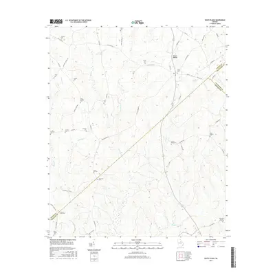
2017 Map of White Plains
USGS Topo · Published 2017About this map
White Plains serves as the central hub of this Georgia landscape, situated at the intersection of several notable routes including White Plains Rd and Veazey Rd. The terrain is defined by a dense network of tributaries, such as Bruce Cr and Little Shoulderbone Cr, which flow through the rolling countryside of Greene, Hancock, and Taliaferro Counties. A distinctive geological feature, the Blue Hole, sits just east of the main settlement.
Find a feature on this map
62 named features on this map. Tap any name to fly to it.
Don’t see what you’re looking for? This feature index may not catch every label — zoom into the map to look around manually.
Map Details
Editions of this 2017 White Plains Map
This is the sole edition of this map. No revisions or reprints were ever made.
Other maps of this area

1906 · Crawfordville
USGS Topo · 1:125,000

1953 · Athens
USGS Topo · 1:250,000

1958 · Athens
USGS Topo · 1:250,000

1959 · Athens
USGS Topo · 1:250,000

1963 · Athens
USGS Topo · 1:250,000

1965 · Union Point
USGS Topo · 1:24,000

1966 · Crawfordville
USGS Topo · 1:24,000

1972 · Liberty
USGS Topo · 1:24,000

1972 · Shoulderbone
USGS Topo · 1:24,000

1972 · Sparta NW
USGS Topo · 1:24,000