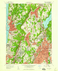
1957 Map of White Plains
USGS Topo · Published 1959About this map
Westchester County's post-war suburban landscape is defined here by the convergence of major parkways and the newly constructed Tappan Zee Bridge spanning the Hudson River. In this era of expansion, the map reveals a dense network of residential development and institutional life, from the sprawling grounds of Marymount College and Hackley Sch to the significant healthcare and correctional complex containing Grasslands Hospital and the Westchester Penitentiary.
Find a feature on this map
127 named features on this map. Tap any name to fly to it.
Don’t see what you’re looking for? This feature index may not catch every label — zoom into the map to look around manually.
Map Details
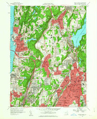
Editions of this 1957 White Plains Map
2 editions found
Other maps of this area

1891 · Harlem
USGS Topo · 1:62,500

1892 · Stamford
USGS Topo · 1:62,500

1892 · Tarrytown
USGS Topo · 1:62,500

1893 · Stamford
USGS Topo · 1:62,500

1893 · Tarrytown
USGS Topo · 1:62,500

1897 · Harlem
USGS Topo · 1:62,500

1897 · Oyster Bay
USGS Topo · 1:62,500

1898 · Harlem
USGS Topo · 1:62,500

1898 · Oyster Bay
USGS Topo · 1:62,500

1899 · Stamford
USGS Topo · 1:62,500