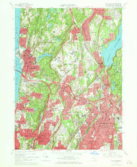
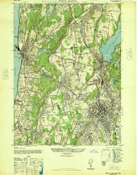
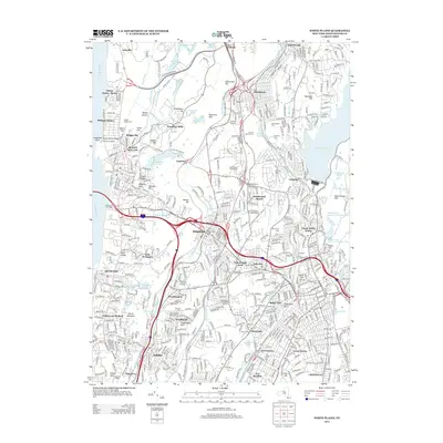
1967 Map of White Plains
USGS Topo · Published 1969About this map
The Hudson River and Tappan Zee form the western boundary of this Westchester County landscape, defined in the late 1960s by a dense network of suburban development and parkways. Institutional land use is prominent, notably the massive cemetery complexes including Gate of Heaven Cemetery and Kensico Cemetery near Valhalla. The map documents the high-growth corridor between Tarrytown and White Plains, connected by the Cross Westchester Expressway.
Find a feature on this map
115 named features on this map. Tap any name to fly to it.
Don’t see what you’re looking for? This feature index may not catch every label — zoom into the map to look around manually.
Map Details
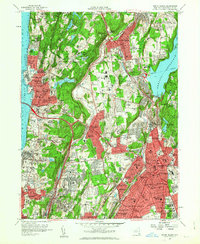
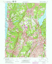
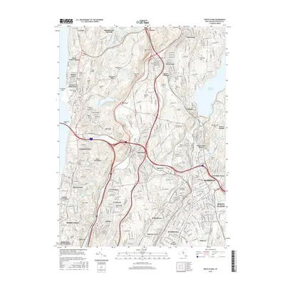
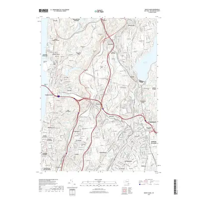
Editions of this 1967 White Plains Map
3 editions found
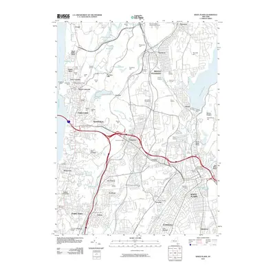
Historical Maps of Greenburgh Through Time
10 maps found
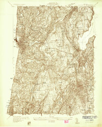
1932 White Plains
Westchester County, NY
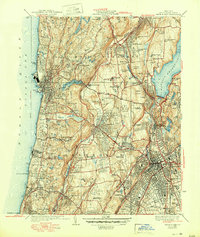
1938 White Plains
Westchester County, NY
1947 White Plains
Westchester County, NY
1957 White Plains
Westchester County, NY
1967 White Plains
Westchester County, NY
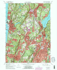
2010 White Plains
Westchester County, NY
2013 White Plains
Westchester County, NY
2016 White Plains
Westchester County, NY
2019 White Plains
Westchester County, NY

2023 White Plains
Westchester County, NY