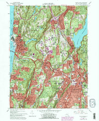
1967 Map of White Plains
USGS Topo · Published 1979About this map
White Plains and its neighboring Westchester County villages are captured during a period of significant suburban expansion and infrastructure development. The massive Kensico Reservoir and Kensico Dam dominate the eastern landscape, essential to the region's water supply. The map illustrates a dense network of high-speed transit, including the Tappan Zee Bridge crossing the Hudson River and the newly etched Cross Westchester Expressway.
Find a feature on this map
116 named features on this map. Tap any name to fly to it.
Don’t see what you’re looking for? This feature index may not catch every label — zoom into the map to look around manually.
Map Details
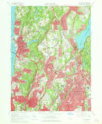
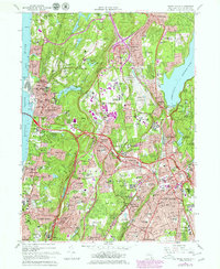
Editions of this 1967 White Plains Map
3 editions found
Other maps of this area

1891 · Harlem
USGS Topo · 1:62,500

1892 · Stamford
USGS Topo · 1:62,500

1892 · Tarrytown
USGS Topo · 1:62,500

1893 · Stamford
USGS Topo · 1:62,500

1893 · Tarrytown
USGS Topo · 1:62,500

1897 · Harlem
USGS Topo · 1:62,500

1897 · Oyster Bay
USGS Topo · 1:62,500

1898 · Harlem
USGS Topo · 1:62,500

1898 · Oyster Bay
USGS Topo · 1:62,500

1899 · Stamford
USGS Topo · 1:62,500