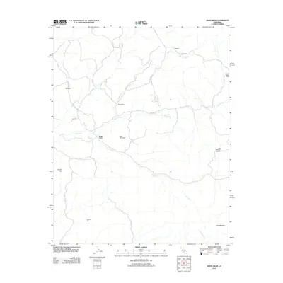
2012 Map of White River
USGS Topo · Published 2012About this map
The White River flows through this corner of Tulare County, defining a landscape marked by ranching heritage and the legacy of early transit routes. Significant landholdings such as the H-B Ranch, Klein Ranch, and Guthrie Ranch anchor the northern and central portions of the sheet, while the historical Old Stage Rd suggests the path of earlier pioneers through these hills.
Find a feature on this map
21 named features on this map. Tap any name to fly to it.
Don’t see what you’re looking for? This feature index may not catch every label — zoom into the map to look around manually.
Map Details
Editions of this 2012 White River Map
This is the sole edition of this map. No revisions or reprints were ever made.
Other maps of this area
1920 · Delonagha
USGS Topo · 1:62,500
1926 · Quincy School
USGS Topo · 1:31,680
1926 · Glennville
USGS Topo · 1:62,500
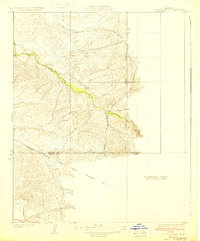
1929 · Quincy School
USGS Topo · 1:31,680
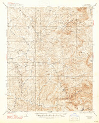
1932 · Woody
USGS Topo · 1:62,500
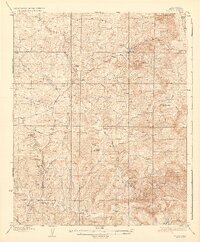
1935 · Woody
USGS Topo · 1:62,500
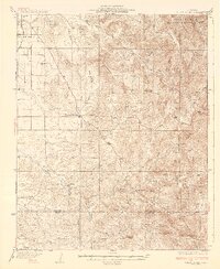
1936 · White River
USGS Topo · 1:62,500
1936 · Tobias Peak
USGS Topo · 1:125,000
1943 · Tobias Peak
USGS Topo · 1:125,000
1945 · Tobias Peak
USGS Topo · 1:62,500