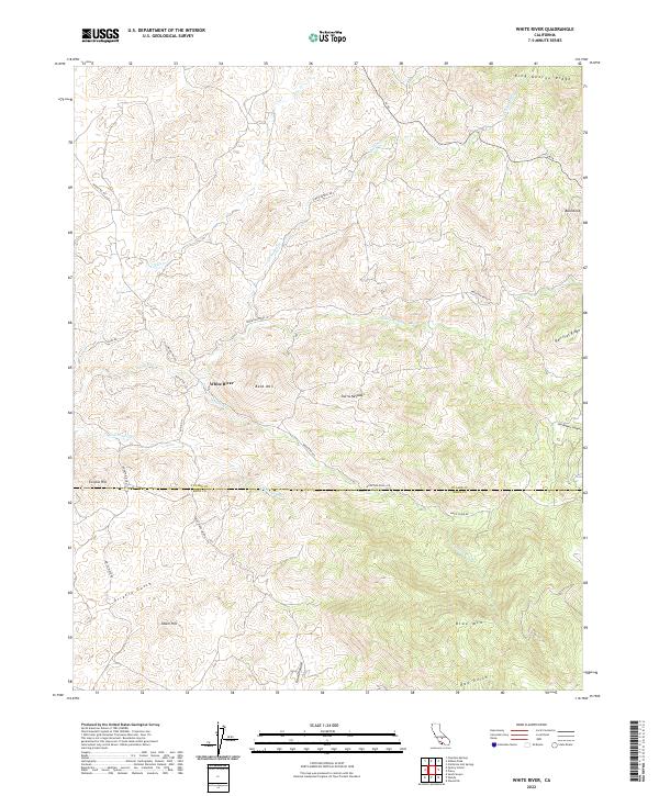
2022 Map of White River
USGS Topo · Published 2022About this map
The settlement of White River serves as a focal point in this 2022 survey, located at the boundary of Tulare and Kern counties. The landscape is defined by the steep transition into the southern Sierra Nevada, where drainage systems like Coarse Gold Cr and Grizzly Gulch carve through the foothills. A network of rural mountain roads, including Fire Control Rd and Mount Rd 109, provides access to prominent high points such as Bald Mtn and Blue Mtn. The hydrology of the area is centered on the namesake White River and its tributaries, Chalaney Cr and Coho Cr, which dictate the topography between King George Ridge and Rail Flat Ridge. This modern record of the region captures the complex land divisions and relief that have shaped local ranching and settlement patterns for generations.
Find a feature on this map
35 named features on this map. Tap any name to fly to it.
Don’t see what you’re looking for? This feature index may not catch every label — zoom into the map to look around manually.
Map Details
Editions of this 2022 White River Map
This is the sole edition of this map. No revisions or reprints were ever made.
Other maps of this area

1920 · Delonagha
USGS Topo · 1:62,500

1926 · Quincy School
USGS Topo · 1:31,680

1926 · Glennville
USGS Topo · 1:62,500

1929 · Quincy School
USGS Topo · 1:31,680

1932 · Woody
USGS Topo · 1:62,500

1935 · Woody
USGS Topo · 1:62,500

1936 · White River
USGS Topo · 1:62,500

1936 · Tobias Peak
USGS Topo · 1:125,000

1943 · Tobias Peak
USGS Topo · 1:125,000

1945 · Tobias Peak
USGS Topo · 1:62,500