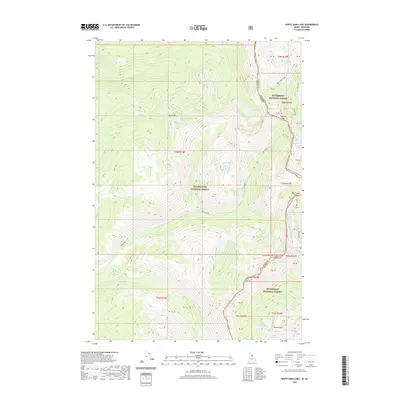
2020 Map of White Sand Lake
USGS Topo · Published 2020About this map
Clearwater National Forest and Bitterroot National Forest converge along the high mountain divide of the Bitterroot Range, marking the rugged boundary between Idaho and Montana. This high-altitude landscape is defined by its extensive network of glacial lakes and dramatic passes, including the namesake White Sand Lake and the remote Packbox Pass. The map details a complex hydrological system where waters flow toward Colt Killed Cr and Big Creek, illustrating the natural barriers that historically dictated travel and land management in this wilderness area. High peaks such as Totem Peak tower over smaller alpine bodies like Totem Peak Lake and North Totem Lake, while the presence of Garnet Lake and Parachute Lake further inland suggests the difficult terrain encountered by early forest rangers and surveyors.
Find a feature on this map
31 named features on this map. Tap any name to fly to it.
Don’t see what you’re looking for? This feature index may not catch every label — zoom into the map to look around manually.
Map Details
Editions of this 2020 White Sand Lake Map
This is the sole edition of this map. No revisions or reprints were ever made.
Other maps of this area

1901 · Hamilton
USGS Topo · 1:125,000

1911 · Lolo
USGS Topo · 1:250,000

1912 · Missoula
USGS Topo · 1:125,000

1913 · Lolo
USGS Topo · 1:250,000

1956 · Hamilton
USGS Topo · 1:250,000

1959 · Hamilton
USGS Topo · 1:250,000

1960 · Hamilton
USGS Topo · 1:250,000

1964 · Hamilton
USGS Topo · 1:250,000

1964 · Roundtop
USGS Topo · 1:24,000

1964 · St. Joseph Peak
USGS Topo · 1:24,000