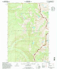
1994 Map of White Sand Lake
USGS Topo · Published 1997About this map
The high alpine crest of the Idaho Montana border dominates this survey, where the Bitterroot National Forest meets the Clearwater National Forest. This remote landscape is defined by the protected expanse of the Selway Bitterroot Wilderness, a region of steep drainages and isolated glacial lakes. Notable water bodies such as White Sand Lake, Dan Lake, and Maud Lake sit in high basins carved by ancient ice, feeding a network of streams including Colt Killed Creek and Heather Creek. The map documents the high-altitude crossings at Packbox Pass and Bear Creek Pass, which have historically served as critical transit points through the Bitterroot Range. This edition reflects mid-1990s conditions, showing the established trail networks like the Packbox Creek Trail and the complex administrative boundaries of the Stevensville Powell ranger districts that manage this roadless backcountry.
Find a feature on this map
36 named features on this map. Tap any name to fly to it.
Don’t see what you’re looking for? This feature index may not catch every label — zoom into the map to look around manually.
Map Details
Editions of this 1994 White Sand Lake Map
2 editions found
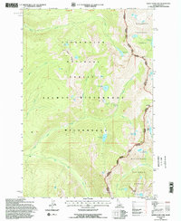
Other maps of this area

1901 · Hamilton
USGS Topo · 1:125,000

1911 · Lolo
USGS Topo · 1:250,000

1912 · Missoula
USGS Topo · 1:125,000

1913 · Lolo
USGS Topo · 1:250,000

1956 · Hamilton
USGS Topo · 1:250,000

1959 · Hamilton
USGS Topo · 1:250,000

1960 · Hamilton
USGS Topo · 1:250,000

1964 · Hamilton
USGS Topo · 1:250,000

1964 · Roundtop
USGS Topo · 1:24,000

1964 · St. Joseph Peak
USGS Topo · 1:24,000