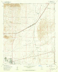
1955 Map of White Sands
USGS Topo · Published 1962About this map
The White Sands Proving Ground dominates this mid-century desert landscape, serving as a critical military installation during a period of rapid Cold War technological expansion. To the west, the terrain rises sharply toward Black Mountain and Rattlesnake Ridge, where the Bonney Spring Mine and Alamo Spring mark isolated points of human activity against the rugged backdrop. The central and eastern portions of the map reveal a network of water management features essential for desert survival and military operations, including Coz Reservoir, Parker Lake, and Haystack Tanks. A particularly distinct feature is the Landing Strip in Road, highlighting the improvised and utilitarian nature of infrastructure in this remote testing area. The settlement of White Sands in the southwest corner shows the localized development of military housing and amenities, complete with a Swimming Pool and Tennis Court.
Find a feature on this map
28 named features on this map. Tap any name to fly to it.
Don’t see what you’re looking for? This feature index may not catch every label — zoom into the map to look around manually.
Map Details
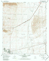
Editions of this 1955 White Sands Map
2 editions found
Other maps of this area

1891 · Las Cruces
USGS Topo · 1:125,000

1893 · Las Cruces
USGS Topo · 1:125,000

1916 · Tonuco
USGS Topo · 1:125,000

1916 · Point Of Sands
USGS Topo · 1:125,000

1932 · Tonuco
USGS Topo · 1:125,000

1941 · Organ Peak
USGS Topo · 1:62,500

1943 · Parker Lake
USGS Topo · 1:62,500

1943 · Organ Peak
USGS Topo · 1:62,500

1947 · Lake Lucero
USGS Topo · 1:62,500

1948 · Davies Tank
USGS Topo · 1:24,000