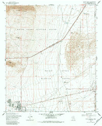
1955 Map of White Sands
USGS Topo · Published 1984About this map
White Sands Missile Range dominates this mid-century landscape, illustrating the intersection of military testing grounds and the high desert environment of New Mexico. The map details a specialized infrastructure established for the range, including the settlement of White Sands itself, which features community amenities like a Swimming Pool, Tennis Court, and multiple reservoirs. Outside the core military installations, the terrain is defined by rugged landmarks such as Black Mountain and Antelope Hill, while water management is paramount, evidenced by numerous catchments like Coz Reservoir, Borden Tank, and Parker Lake.
Find a feature on this map
24 named features on this map. Tap any name to fly to it.
Don’t see what you’re looking for? This feature index may not catch every label — zoom into the map to look around manually.
Map Details
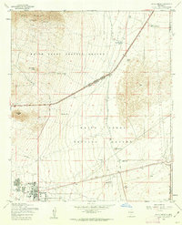
Editions of this 1955 White Sands Map
2 editions found
Other maps of this area

1891 · Las Cruces
USGS Topo · 1:125,000

1893 · Las Cruces
USGS Topo · 1:125,000

1916 · Tonuco
USGS Topo · 1:125,000

1916 · Point Of Sands
USGS Topo · 1:125,000

1932 · Tonuco
USGS Topo · 1:125,000

1941 · Organ Peak
USGS Topo · 1:62,500

1943 · Parker Lake
USGS Topo · 1:62,500

1943 · Organ Peak
USGS Topo · 1:62,500

1947 · Lake Lucero
USGS Topo · 1:62,500

1948 · Davies Tank
USGS Topo · 1:24,000