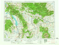
1965 Map of White Sulphur Springs
USGS Topo · Published 1965About this map
The Big Belt Mountains and Little Belt Mountains dominate this mid-century landscape, framing a region defined by high-altitude ranching and the winding path of the Missouri River. The creation of the Canyon Ferry Reservoir has significantly altered the valley north of Townsend, submerged behind a massive concrete dam. The map documents a sparsely populated but active corridor where the Northern Pacific and Chicago Milwaukee St Paul and Pacific railroads navigate narrow mountain passes to connect remote timber and mining outposts.
Find a feature on this map
49 named features on this map. Tap any name to fly to it.
Don’t see what you’re looking for? This feature index may not catch every label — zoom into the map to look around manually.
Map Details
Editions of this 1965 White Sulphur Springs Map
This is the sole edition of this map. No revisions or reprints were ever made.
Other maps of this area

1886 · Great Falls
USGS Topo · 1:250,000

1886 · Fort Logan
USGS Topo · 1:250,000
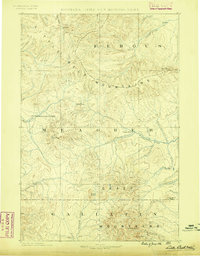
1886 · Little Belt Mts.
USGS Topo · 1:250,000

1888 · Three Forks
USGS Topo · 1:250,000
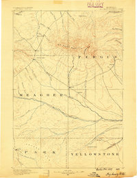
1889 · Big Snowy Mountain
USGS Topo · 1:250,000

1889 · Helena
USGS Topo · 1:250,000
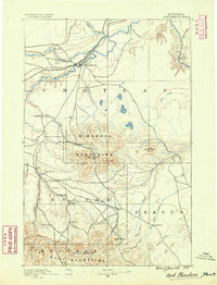
1890 · Fort Benton
USGS Topo · 1:250,000
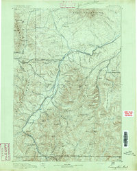
1891 · Livingston
USGS Topo · 1:250,000
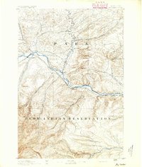
1891 · Big Timber
USGS Topo · 1:125,000
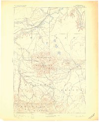
1892 · Fort Benton
USGS Topo · 1:250,000