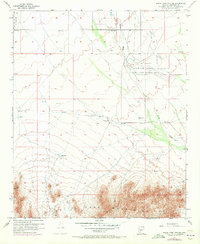
1957 Map of White Tank Mts. NE
USGS Topo · Published 1972About this map
The White Tank Mountains dominate the southern landscape of this 1957 survey, where steep ridgelines meet the desert floor. In the flatlands to the north, Luke Air Force Auxiliary Field No 1 stands as a primary identifier of the mid-century military presence in Maricopa County. The geography is defined by the drainage patterns of Trilby Wash, which cuts across the arid terrain toward several scattered reservoirs and wells. Evidence of early industrial activity is etched into the mountain slopes, including a tunnel and a quarry located at the edge of the range. Survey benchmarks like Wagner VABM 2262 and Vabm 3171 provide critical data points for this corner of the valley before the intense suburban expansion of later decades reached this far west of Phoenix.
Find a feature on this map
11 named features on this map. Tap any name to fly to it.
Don’t see what you’re looking for? This feature index may not catch every label — zoom into the map to look around manually.
Map Details
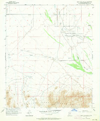
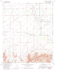
Editions of this 1957 White Tank Mts. NE Map
4 editions found
Other maps of this area

1954 · Phoenix
USGS Topo · 1:250,000

1957 · Phoenix
USGS Topo · 1:250,000

1957 · White Tank Mts. SE
USGS Topo · 1:24,000

1957 · White Tank Mts. NE
USGS Topo · 1:24,000

1957 · McMicken Dam
USGS Topo · 1:24,000

1957 · Waddell
USGS Topo · 1:24,000

1957 · White Tank Mts.
USGS Topo · 1:62,500

1958 · Phoenix
USGS Topo · 1:250,000

1960 · Phoenix
USGS Topo · 1:250,000
1965 · Wittmann
USGS Topo · 1:24,000