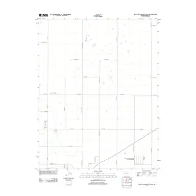
2012 Map of White Woman Bottoms
USGS Topo · Published 2012About this map
White Woman Bottoms defines this section of the High Plains north of Garden City, characterized by an expansive grid of agricultural roads and irrigation infrastructure. The landscape is marked by the presence of Farmers Ditch at the southern edge, illustrating the critical role of water management in this arid region. For those tracing family history, the Hulpieu Homestead Cem sits as a quiet landmark among the section lines, specifically near E 6 Mile Rd. The map also reveals the industrial and logistical footprint of the early 21st century, including the Finney Company Feedyard Incorporated Airport and a network of named thoroughfares such as N Jennie Barker Rd and N Farmland Rd that partition the large tracts of prairie and farmland.
Find a feature on this map
25 named features on this map. Tap any name to fly to it.
Don’t see what you’re looking for? This feature index may not catch every label — zoom into the map to look around manually.
Map Details
Editions of this 2012 White Woman Bottoms Map
This is the sole edition of this map. No revisions or reprints were ever made.
Other maps of this area

1896 · Garden
USGS Topo · 1:125,000

1944 · Tennis
USGS Topo · 1:62,500

1955 · Dodge City
USGS Topo · 1:250,000

1955 · Scott City
USGS Topo · 1:250,000

1958 · Dodge City
USGS Topo · 1:250,000

1958 · Scott City
USGS Topo · 1:250,000

1959 · Dodge City
USGS Topo · 1:250,000

1960 · Garden City East
USGS Topo · 1:24,000
1960 · Garden City West
USGS Topo · 1:24,000

1967 · Pierceville
USGS Topo · 1:24,000