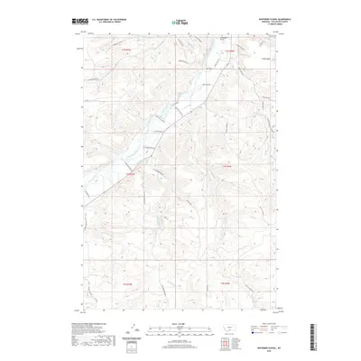
2020 Map of Whitebird School
USGS Topo · Published 2020About this map
The Stillwater River carves a deep valley through this portion of Stillwater County, providing the primary corridor for agricultural activity and transit. Irrigation infrastructure, vital to the local ranching economy, is clearly mapped through systems like the Whitebird Ditch, Shane Ditch, and Joe Hill Ditch. These waterways support the homesteads and ranches that dot the landscape between the river and the high elevation of Shane Ridge. The terrain is further defined by numerous coulees, such as Porter Coulee and Norve Coulee, which channel runoff from the surrounding heights toward the river. Local landmarks like Firemans Point and the location of Swinging Bridge Rd indicate a landscape where geography dictates movement and settlement. Landowners and researchers can trace the reach of tributary waters like Whitebird Cr and Mexican Joe Cr across the township and range lines.
Find a feature on this map
46 named features on this map. Tap any name to fly to it.
Don’t see what you’re looking for? This feature index may not catch every label — zoom into the map to look around manually.
Map Details
Editions of this 2020 Whitebird School Map
This is the sole edition of this map. No revisions or reprints were ever made.
Other maps of this area

1892 · Stillwater
USGS Topo · 1:125,000

1932 · Red Lodge No 2
USGS Topo · 1:48,000

1932 · Red Lodge No 1
USGS Topo · 1:48,000

1954 · Billings
USGS Topo · 1:250,000

1955 · Springtime
USGS Topo · 1:24,000

1955 · Whitebird School
USGS Topo · 1:24,000

1955 · Absarokee
USGS Topo · 1:24,000

1956 · Columbus West
USGS Topo · 1:24,000

1956 · Shane Ridge
USGS Topo · 1:24,000

1956 · Roscoe NW
USGS Topo · 1:24,000