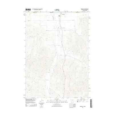
2014 Map of Whiteclay
USGS Topo · Published 2014About this map
Whiteclay and Pine Ridge sit at the northern edge of this survey, marking a significant transition point along the border of Nebraska and South Dakota. The landscape is defined by the winding course of White Clay Cr, which flows northward through the center of the quadrangle. A network of rural routes, including Co Rd and numbered trails like 370th Trl, crisscross the drainages of Craven Cr and Patton Cr. For those tracing local heritage, the Abold Cem is a prominent genealogical landmark situated in the southwestern corner of the map. The relief of the land is documented through detailed contours, showing the elevation changes around Larrabee Cr as it moves through the eastern portion of the terrain.
Find a feature on this map
20 named features on this map. Tap any name to fly to it.
Don’t see what you’re looking for? This feature index may not catch every label — zoom into the map to look around manually.
Map Details
Editions of this 2014 Whiteclay Map
This is the sole edition of this map. No revisions or reprints were ever made.
Other maps of this area

1955 · Hot Springs
USGS Topo · 1:250,000

1955 · Alliance
USGS Topo · 1:250,000

1957 · Alliance
USGS Topo · 1:250,000

1958 · Alliance
USGS Topo · 1:250,000

1967 · Pine Ridge SW
USGS Topo · 1:24,000

1967 · Pine Ridge
USGS Topo · 1:24,000

1967 · Manderson SW
USGS Topo · 1:24,000

1969 · Whiteclay
USGS Topo · 1:24,000

1969 · Clinton NW
USGS Topo · 1:24,000

1969 · Clinton SW
USGS Topo · 1:24,000