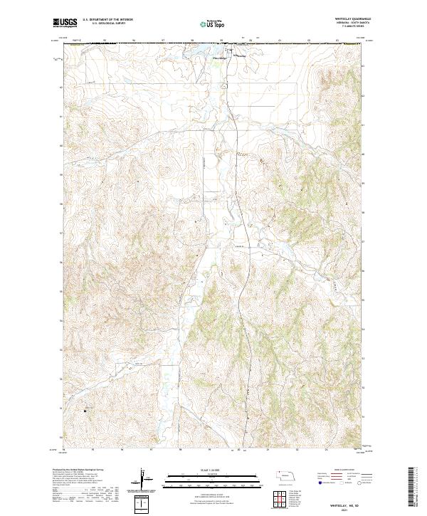
2021 Map of Whiteclay
USGS Topo · Published 2021About this map
Pine Ridge and Whiteclay sit at the northern edge of this Nebraska landscape, positioned just south of the state line in Sheridan County. The area is defined by a network of seasonal drainages and local landmarks including White Clay Lake and the branching waters of White Clay Creek, Patton Creek, and Craven Creek. While the northern section contains the primary settlements and infrastructure like Main Street and White Clay Lake Road, the southern reach is characterized by a sparse grid of section lines and isolated features such as the Abold Cemetery. This terrain is navigated via a series of rural tracks and trails, including 720th Trail and Larabee Road, which trace the drainage patterns across the High Plains breaks.
Find a feature on this map
24 named features on this map. Tap any name to fly to it.
Don’t see what you’re looking for? This feature index may not catch every label — zoom into the map to look around manually.
Map Details
Editions of this 2021 Whiteclay Map
This is the sole edition of this map. No revisions or reprints were ever made.
Other maps of this area

1955 · Hot Springs
USGS Topo · 1:250,000

1955 · Alliance
USGS Topo · 1:250,000

1957 · Alliance
USGS Topo · 1:250,000

1958 · Alliance
USGS Topo · 1:250,000

1967 · Pine Ridge SW
USGS Topo · 1:24,000

1967 · Pine Ridge
USGS Topo · 1:24,000

1967 · Manderson SW
USGS Topo · 1:24,000

1969 · Whiteclay
USGS Topo · 1:24,000

1969 · Clinton NW
USGS Topo · 1:24,000

1969 · Clinton SW
USGS Topo · 1:24,000