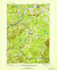
1935 Map of Whitefield
USGS Topo · Published 1954About this map
The Connecticut River serves as the winding border between Vermont and New Hampshire in this mid-1930s survey, marking a distinct boundary between the towns of Lunenburg and Lancaster. The regional landscape is defined by its deep reliance on rail transport, with the Maine Central and Boston and Maine railroads converging at critical points like Quebec Junction and Hazens Pond. The map reveals a transition toward early aviation with the presence of the Whitefield Landing Field, while the CCC Camp in the White Mountain National Forest reflects the era's public works projects near Twin Mountain. Small-scale rural infrastructure is pervasive, documented through numerous numbered schools such as School No 10 and School No 9, alongside family-named landmarks like Baptist Hill and Osburn Hill that anchored these northern New England communities.
Find a feature on this map
109 named features on this map. Tap any name to fly to it.
Don’t see what you’re looking for? This feature index may not catch every label — zoom into the map to look around manually.
Map Details
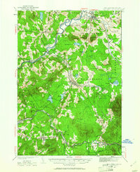
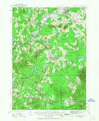
Editions of this 1935 Whitefield Map
4 editions found

Other maps of this area

1893 · Mt. Washington
USGS Topo · 1:62,500

1895 · Crawford Notch
USGS Topo · 1:62,500

1896 · Mt. Washington
USGS Topo · 1:62,500

1896 · Crawford Notch
USGS Topo · 1:62,500

1900 · Whitefield
USGS Topo · 1:62,500

1920 · Guildhall
USGS Topo · 1:62,500

1929 · Moosilauke
USGS Topo · 1:62,500

1929 · Franconia
USGS Topo · 1:62,500

1930 · Percy
USGS Topo · 1:62,500

1931 · Guildhall
USGS Topo · 1:48,000