
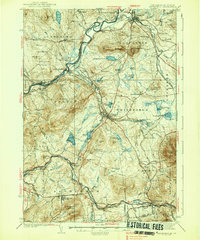
1938 Map of Whitefield
USGS Topo · Published 1938About this map
The Ammonoosuc River and Connecticut River valleys define the rugged landscape of this late 1930s survey, where the timber and rail industries shaped local development. Industrial and transport hubs like Whitefield and Lancaster are shown in detail, alongside smaller railway junctions such as Quebec Junction and Wing Road. The map reveals a dense network of rural education and community life, capturing numerous district schools like the Cushman Union Sch and Stebbins Hill Sch.
Find a feature on this map
117 named features on this map. Tap any name to fly to it.
Don’t see what you’re looking for? This feature index may not catch every label — zoom into the map to look around manually.
Map Details
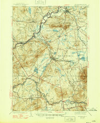
Editions of this 1938 Whitefield Map
3 editions found
Other maps of this area

1893 · Mt. Washington
USGS Topo · 1:62,500

1895 · Crawford Notch
USGS Topo · 1:62,500

1896 · Mt. Washington
USGS Topo · 1:62,500

1896 · Crawford Notch
USGS Topo · 1:62,500

1900 · Whitefield
USGS Topo · 1:62,500

1920 · Guildhall
USGS Topo · 1:62,500

1929 · Moosilauke
USGS Topo · 1:62,500

1929 · Franconia
USGS Topo · 1:62,500

1930 · Percy
USGS Topo · 1:62,500

1931 · Guildhall
USGS Topo · 1:48,000