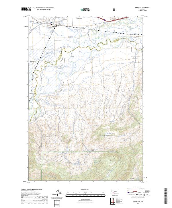
2024 Map of Whitehall
USGS Topo · Published 2024About this map
Whitehall sits at a geographic crossroads where the Jefferson River valley meets the northern edge of the Tobacco Root Mountains. This 2024 map documents a landscape defined by water management and historic transit corridors, notably the Yellowstone Trl and various irrigation works like Parrot Ditch and the Pleasant Valley Ditch. North of the river, the town's grid expands near the Whitehall Cem, while the valley floor to the south reveals the complex hydrology of Jefferson Slough and the Piedmont Swamp near the settlement of Piedmont.
Find a feature on this map
81 named features on this map. Tap any name to fly to it.
Don’t see what you’re looking for? This feature index may not catch every label — zoom into the map to look around manually.
Map Details
Editions of this 2024 Whitehall Map
This is the sole edition of this map. No revisions or reprints were ever made.
Other maps of this area

1888 · Three Forks
USGS Topo · 1:250,000

1893 · Dillon
USGS Topo · 1:250,000

1894 · Three Forks
USGS Topo · 1:250,000

1895 · Three Forks
USGS Topo · 1:250,000

1947 · Bozeman
USGS Topo · 1:250,000

1948 · Bozeman
USGS Topo · 1:250,000

1950 · Jefferson Island
USGS Topo · 1:62,500

1950 · Harrison
USGS Topo · 1:62,500

1955 · Bozeman
USGS Topo · 1:250,000

1955 · Dillon
USGS Topo · 1:250,000
Featured Places
- Whitehall, MT
- Rice Motel and Trailer Court, Whitehall
- La Casa Trailer Park, Whitehall
- Jefferson County, MT
- Madison County, MT