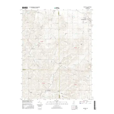
2016 Map of Whitehall
USGS Topo · Published 2016About this map
Ellettsville and its surrounding countryside represent the meeting point of three Indiana counties, where the ridges and hollows of the eastern uplands begin to settle toward the western plains. This area is characterized by a dense network of family cemeteries and small rural settlements like Whitehall, Freeman, and Hendricksville. The topography is defined by the winding paths of Richland Creek and its various tributaries, which have carved numerous named hollows into the landscape, including Blair Hollow and Coon Hollow.
Find a feature on this map
81 named features on this map. Tap any name to fly to it.
Don’t see what you’re looking for? This feature index may not catch every label — zoom into the map to look around manually.
Map Details
Editions of this 2016 Whitehall Map
This is the sole edition of this map. No revisions or reprints were ever made.
Other maps of this area

1908 · Bloomington
USGS Topo · 1:48,000

1908 · Bloomfield
USGS Topo · 1:62,500

1910 · Bloomington
USGS Topo · 1:62,500

1947 · Gosport
USGS Topo · 1:24,000

1950 · Gosport
USGS Topo · 1:24,000

1953 · Indianapolis
USGS Topo · 1:250,000

1956 · Indianapolis
USGS Topo · 1:250,000
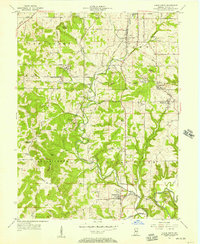
1956 · Clear Creek
USGS Topo · 1:24,000

1956 · Freedom
USGS Topo · 1:24,000
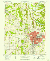
1956 · Bloomington
USGS Topo · 1:24,000