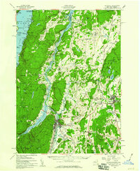
1950 Map of Whitehall
USGS Topo · Published 1965About this map
Lake Champlain serves as the central artery for this mid-century borderland between New York and Vermont, where the Delaware and Hudson RR follows the narrow corridor through Whitehall. This era shows the region's established rural infrastructure, with numerous family-named schools and cemeteries such as the Howard Hill Sch and Hitchcock Cem dotting the hillsides of Washington County. The landscape is defined by the sharp transition from the waters of Lake George in the west, past Spruce Mtn, to the fertile valleys around Fair Haven and Hampton.
Find a feature on this map
161 named features on this map. Tap any name to fly to it.
Don’t see what you’re looking for? This feature index may not catch every label — zoom into the map to look around manually.
Map Details
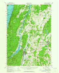
Editions of this 1950 Whitehall Map
2 editions found
Other maps of this area

1893 · Fort Ann
USGS Topo · 1:62,500

1893 · Whitehall
USGS Topo · 1:62,500

1894 · Ticonderoga
USGS Topo · 1:62,500

1894 · Pawlet
USGS Topo · 1:62,500

1895 · Whitehall
USGS Topo · 1:62,500

1895 · Fort Ann
USGS Topo · 1:62,500

1895 · Paradox Lake
USGS Topo · 1:62,500

1895 · Glens Falls
USGS Topo · 1:62,500

1895 · Castleton
USGS Topo · 1:62,500

1896 · Ticonderoga
USGS Topo · 1:62,500